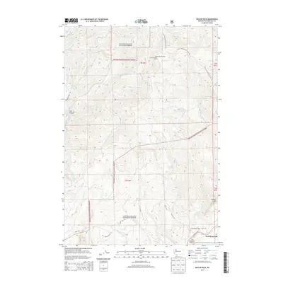
2013 Map of Beacon Rock
USGS Topo · Published 2013About this map
Gifford Pinchot National Forest dominates this section of the Cascades, where the dramatic elevation changes of the Columbia River Gorge meet high mountain lookouts. The southern edge of the map features the established settlement of North Bonneville, positioned near the iconic monolith of Beacon Rock and its smaller counterpart, Little Beacon Rock. This area serves as a critical junction for outdoor navigation, containing a significant stretch of the Pacific Crest National Scenic Trail as it winds past Three Corner Rock toward the river valley.
Find a feature on this map
72 named features on this map. Tap any name to fly to it.
Don’t see what you’re looking for? This feature index may not catch every label — zoom into the map to look around manually.
Map Details
Editions of this 2013 Beacon Rock Map
This is the sole edition of this map. No revisions or reprints were ever made.
Other maps of this area

1926 · Hood River
USGS Topo · 1:125,000

1929 · Hood River
USGS Topo · 1:125,000

1940 · Lookout Mtn
USGS Topo · 1:62,500

1948 · Vancouver
USGS Topo · 1:250,000

1950 · Vancouver
USGS Topo · 1:250,000

1950 · Vancouver
USGS Topo · 1:250,000

1953 · Lookout Mtn
USGS Topo · 1:62,500

1953 · The Dalles
USGS Topo · 1:250,000

1954 · Bridal Veil
USGS Topo · 1:62,500

1956 · The Dalles
USGS Topo · 1:250,000