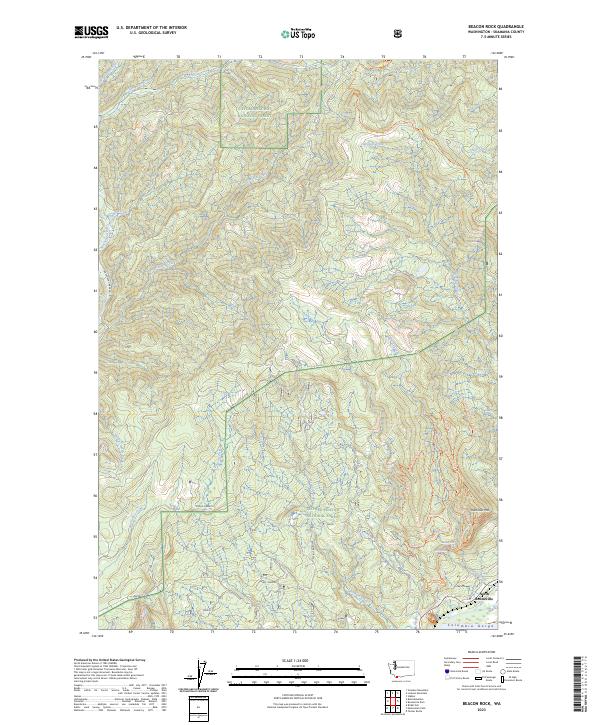
2023 Map of Beacon Rock
USGS Topo · Published 2023About this map
North Bonneville sits at the edge of the Columbia Gorge, marking a landscape where the river's influence meets the steep rise of the Gifford Pinchot National Forest. This modern survey reveals a complex network of recreational paths, including the Pacific Crest National Scenic Trail and specialized routes such as the Equestrian Loop Trl. The map illustrates how human activity and conservation intersect, with the Pierce National Wildlife Refuge protecting the lowlands while the surrounding terrain is defined by rugged elevation gains towards Hamilton Mtn.
Find a feature on this map
40 named features on this map. Tap any name to fly to it.
Don’t see what you’re looking for? This feature index may not catch every label — zoom into the map to look around manually.
Map Details
Editions of this 2023 Beacon Rock Map
This is the sole edition of this map. No revisions or reprints were ever made.
Other maps of this area

1926 · Hood River
USGS Topo · 1:125,000

1929 · Hood River
USGS Topo · 1:125,000

1940 · Lookout Mtn
USGS Topo · 1:62,500

1948 · Vancouver
USGS Topo · 1:250,000

1950 · Vancouver
USGS Topo · 1:250,000

1950 · Vancouver
USGS Topo · 1:250,000

1953 · Lookout Mtn
USGS Topo · 1:62,500

1953 · The Dalles
USGS Topo · 1:250,000

1954 · Bridal Veil
USGS Topo · 1:62,500

1956 · The Dalles
USGS Topo · 1:250,000