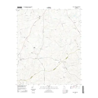
2014 Map of Beall Springs
USGS Topo · Published 2014About this map
Stony Hill rises above a landscape defined by small rural settlements and numerous family burying grounds along the Warren and Glascock County line. This region is characterized by a dense network of local roads such as Pates Mill Rd and Cason Dairy Rd that connect isolated hamlets like Beall Springs, Downs, and Blume. The abundance of small, named cemeteries including Baker Brinkly Cem, McCrary Cem, and the Martha Ellen English Cem provides significant data for genealogical research, anchoring family names to specific rural plots.
Find a feature on this map
83 named features on this map. Tap any name to fly to it.
Don’t see what you’re looking for? This feature index may not catch every label — zoom into the map to look around manually.
Map Details
Editions of this 2014 Beall Springs Map
This is the sole edition of this map. No revisions or reprints were ever made.
Other maps of this area

1953 · Athens
USGS Topo · 1:250,000

1958 · Athens
USGS Topo · 1:250,000

1959 · Athens
USGS Topo · 1:250,000
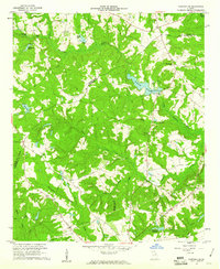
1960 · Warthen NE
USGS Topo · 1:24,000

1963 · Athens
USGS Topo · 1:250,000
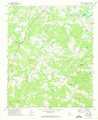
1971 · Beall Springs
USGS Topo · 1:24,000
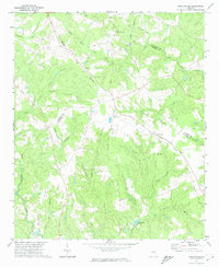
1972 · Bastonville
USGS Topo · 1:24,000
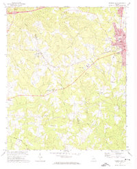
1972 · Thomson West
USGS Topo · 1:24,000
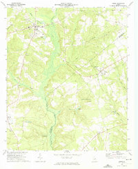
1972 · Gibson
USGS Topo · 1:24,000
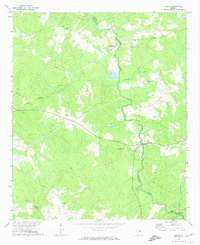
1972 · Jewell
USGS Topo · 1:24,000