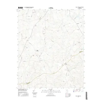
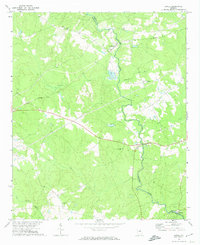
2017 Map of Beall Springs
USGS Topo · Published 2017About this map
Beall Springs sits at the center of this rural landscape, marking a historical point of settlement where the borders of Warren and Glascock counties meet. The area is defined by a dense network of family and community burial grounds, which serve as primary genealogical landmarks for the region. Notable sites include New Salem Cem, Williams Grove Cem, and the Martha Ellen English Cem. These small, scattered cemeteries are often tied to early church sites or homesteads, reflecting the deep-rooted family histories of east-central Georgia.
Find a feature on this map
76 named features on this map. Tap any name to fly to it.
Don’t see what you’re looking for? This feature index may not catch every label — zoom into the map to look around manually.
Map Details
Editions of this 2017 Beall Springs Map
This is the sole edition of this map. No revisions or reprints were ever made.
Other maps of this area

1953 · Athens
USGS Topo · 1:250,000

1958 · Athens
USGS Topo · 1:250,000

1959 · Athens
USGS Topo · 1:250,000

1960 · Warthen NE
USGS Topo · 1:24,000

1963 · Athens
USGS Topo · 1:250,000

1971 · Beall Springs
USGS Topo · 1:24,000
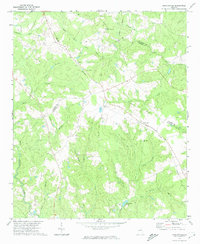
1972 · Bastonville
USGS Topo · 1:24,000
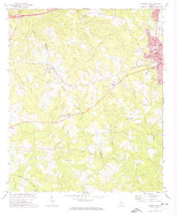
1972 · Thomson West
USGS Topo · 1:24,000
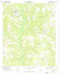
1972 · Gibson
USGS Topo · 1:24,000
1972 · Jewell
USGS Topo · 1:24,000