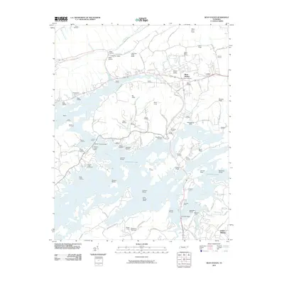
2010 Map of Bean Station
USGS Topo · Published 2010About this map
Bean Station and the rising waters of Cherokee Lake define this corner of East Tennessee, where the Holston River drainage meets the ridges of Little Poor Valley. The landscape is a mix of inundated shoals and narrow valleys, with many family-named landmarks such as Dalton Cemetery, Garrett Cemetery, and Overbay Cemetery marking the uplands. Infrastructure centers on the Bean Station Post Office and crossings like the William P Harrell Bridge. Recreation and local commerce are evident along the shoreline at the German Creek Dock and Hamblen Dock. The map reveals how modern transportation, such as Old U.S. Hwy 25E N, follows older geographical paths through gaps in the Little Poor Valley Ridge.
Find a feature on this map
106 named features on this map. Tap any name to fly to it.
Don’t see what you’re looking for? This feature index may not catch every label — zoom into the map to look around manually.
Map Details
Editions of this 2010 Bean Station Map
This is the sole edition of this map. No revisions or reprints were ever made.
Other maps of this area

1883 · Morristown
USGS Topo · 1:125,000

1893 · Morristown
USGS Topo · 1:125,000

1895 · Morristown
USGS Topo · 1:125,000

1935 · Rogersville
USGS Topo · 1:48,000

1935 · Tate Springs
USGS Topo · 1:48,000

1935 · Lee Valley
USGS Topo · 1:24,000

1935 · Springvale
USGS Topo · 1:24,000

1935 · Howard Quarter
USGS Topo · 1:24,000

1935 · Swan Island
USGS Topo · 1:24,000

1935 · Avondale
USGS Topo · 1:24,000