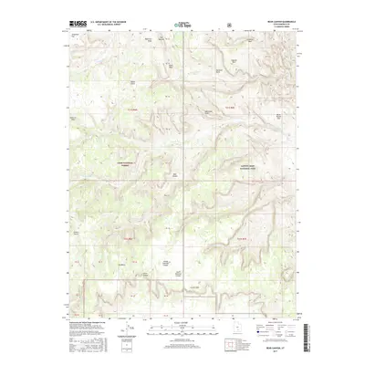
2017 Map of Bear Canyon
USGS Topo · Published 2017About this map
Capitol Reef National Park and the Dixie National Forest meet in this high-desert landscape, defined by dramatic geologic uplift and deep drainage systems. The eastern edge is dominated by the striking Water Pocket Fold, a massive monocline that dictates the local hydrology and travel routes. Named topographical landmarks like Nicks Peak and Oak Creek Point provide vantage points over a network of seasonal watercourses including Tantalus Cr and Oak Creek. To the south, the terrain descends into the Circle Cliffs, where the erosive force of water has carved out North Coleman Canyon and South Coleman Canyon. This area represents a transition between protected forest land and the starker, more exposed formations of the canyonlands, revealing a complex environment of mesas and narrow draws.
Find a feature on this map
43 named features on this map. Tap any name to fly to it.
Don’t see what you’re looking for? This feature index may not catch every label — zoom into the map to look around manually.
Map Details
Editions of this 2017 Bear Canyon Map
This is the sole edition of this map. No revisions or reprints were ever made.
Other maps of this area

1885 · Fish Lake
USGS Topo · 1:250,000

1886 · Escalante
USGS Topo · 1:250,000

1896 · Fish Lake
USGS Topo · 1:250,000

1952 · Notom 4 SE
USGS Topo · 1:24,000

1952 · Notom 4 NW
USGS Topo · 1:24,000

1952 · Notom 4 SW
USGS Topo · 1:24,000

1952 · Notom 4 NE
USGS Topo · 1:24,000

1952 · Notom 3 SE
USGS Topo · 1:24,000

1952 · Notom 3 NE
USGS Topo · 1:24,000

1952 · Grover
USGS Topo · 1:62,500