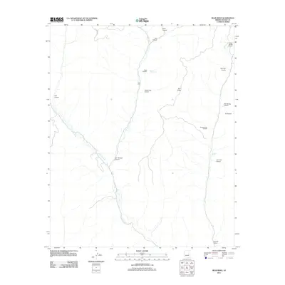
2011 Map of Bear Ridge
USGS Topo · Published 2011About this map
Carrizo Creek winds through this high-altitude landscape of Navajo County, carving a complex network of drainage systems that define the area. The central landmark of Bear Ridge separates several prominent drainages, including Bear Canyon and the evocatively named Blackie Trap Canyon. Local history is anchored at Scott Cabin, a solitary structure marking human activity amidst the deep canyons and springs that dominate this part of Arizona.
Find a feature on this map
19 named features on this map. Tap any name to fly to it.
Don’t see what you’re looking for? This feature index may not catch every label — zoom into the map to look around manually.
Map Details
Editions of this 2011 Bear Ridge Map
This is the sole edition of this map. No revisions or reprints were ever made.
Other maps of this area

1886 · Holbrook
USGS Topo · 1:250,000

1893 · Holbrook
USGS Topo · 1:250,000

1954 · Holbrook
USGS Topo · 1:250,000

1957 · Holbrook
USGS Topo · 1:250,000

1958 · Holbrook
USGS Topo · 1:250,000

1960 · Holbrook
USGS Topo · 1:250,000

1961 · Clay Springs
USGS Topo · 1:62,500

1961 · Heber
USGS Topo · 1:62,500

1961 · Cibecue
USGS Topo · 1:62,500

1961 · Chediski Peak
USGS Topo · 1:62,500