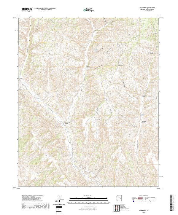
2021 Map of Bear Ridge
USGS Topo · Published 2021About this map
Bear Ridge and Cibecue Ridge define the high terrain of this portion of Navajo County, where a complex network of canyons drains toward the southwest. Water sources such as Black Bear Spring and Jumpoff Spring are critical markers in this arid landscape, likely serving as historic landmarks for movement through the region. The map reveals a transition of drainage systems, with Carrizo Cr winding through the southwestern section, fed by numerous named corridors like Deer Springs Canyon and Blackie Trap Canyon. The presence of Dry Canyon Rd in the north provides one of the few designated transit routes through this topographical maze, which is otherwise characterized by land units like PB 40 and PB 37. This geography suggests a landscape utilized more for its natural resources and seasonal water than for permanent large-scale settlement.
Find a feature on this map
34 named features on this map. Tap any name to fly to it.
Don’t see what you’re looking for? This feature index may not catch every label — zoom into the map to look around manually.
Map Details
Editions of this 2021 Bear Ridge Map
This is the sole edition of this map. No revisions or reprints were ever made.
Other maps of this area

1886 · Holbrook
USGS Topo · 1:250,000

1893 · Holbrook
USGS Topo · 1:250,000

1954 · Holbrook
USGS Topo · 1:250,000

1957 · Holbrook
USGS Topo · 1:250,000

1958 · Holbrook
USGS Topo · 1:250,000

1960 · Holbrook
USGS Topo · 1:250,000

1961 · Clay Springs
USGS Topo · 1:62,500

1961 · Heber
USGS Topo · 1:62,500

1961 · Cibecue
USGS Topo · 1:62,500

1961 · Chediski Peak
USGS Topo · 1:62,500