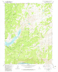
1979 Map of Bear River Reservoir
USGS Topo · Published 1979About this map
The El Dorado National Forest defines this high-country landscape, where the Bear River is harnessed for hydroelectric and recreational use. The survey captures the extent of the Bear River Reservoir and Lower Bear River Reservoir, along with the northern edge of Salt Springs Reservoir. These water bodies are surrounded by a network of seasonal outposts and camps, such as Podesta Camp, Allen Camp, and the Boy Scout facility at Camp Winton.
Find a feature on this map
50 named features on this map. Tap any name to fly to it.
Don’t see what you’re looking for? This feature index may not catch every label — zoom into the map to look around manually.
Map Details
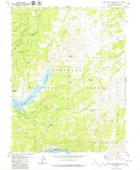
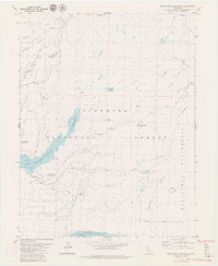
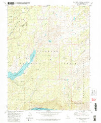
Editions of this 1979 Bear River Reservoir Map
4 editions found
Other maps of this area

1889 · Pyramid Peak
USGS Topo · 1:125,000

1891 · Big Trees
USGS Topo · 1:125,000

1891 · Pyramid Peak
USGS Topo · 1:125,000

1894 · Big Trees
USGS Topo · 1:125,000

1895 · Pyramid Peak
USGS Topo · 1:125,000

1896 · Pyramid Peak
USGS Topo · 1:125,000

1897 · Big Trees
USGS Topo · 1:125,000

1901 · Big Trees
USGS Topo · 1:125,000

1947 · Sacramento
USGS Topo · 1:250,000

1948 · Sacramento
USGS Topo · 1:250,000