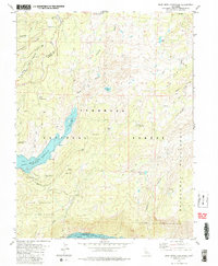
1979 Map of Bear River Reservoir
USGS Topo · Published 1979About this map
El Dorado and Amador county lines intersect within the rugged Sierra Nevada terrain of the late 1970s, a landscape defined by high-altitude reservoirs and historic timber or seasonal camps. The Bear River Reservoir and the northern reaches of Salt Springs Reservoir dominate the hydrology of the area, with underwater contours provided by Pacific Gas and Electric Company. The map reveals a network of primitive access routes, including a Pack Trail and Jeep Trail, connecting remote locations such as Allen Camp and Podesta Camp. Along the eastern edge, the Mokelumne Wilderness boundary marks a transition into protected lands, while family-named landmarks like Ham Spring and Dufrene Camp suggest a history of grazing or recreation. From the Gaging Station on Cole Creek to the Shot Rock Vista Picnic Area, this survey documents the managed wilderness and hydroelectric infrastructure of the late twentieth century.
Find a feature on this map
46 named features on this map. Tap any name to fly to it.
Don’t see what you’re looking for? This feature index may not catch every label — zoom into the map to look around manually.
Map Details
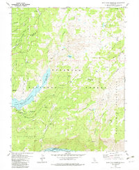
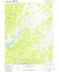
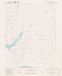
Editions of this 1979 Bear River Reservoir Map
4 editions found
Other maps of this area

1889 · Pyramid Peak
USGS Topo · 1:125,000

1891 · Big Trees
USGS Topo · 1:125,000

1891 · Pyramid Peak
USGS Topo · 1:125,000

1894 · Big Trees
USGS Topo · 1:125,000

1895 · Pyramid Peak
USGS Topo · 1:125,000

1896 · Pyramid Peak
USGS Topo · 1:125,000

1897 · Big Trees
USGS Topo · 1:125,000

1901 · Big Trees
USGS Topo · 1:125,000

1947 · Sacramento
USGS Topo · 1:250,000

1948 · Sacramento
USGS Topo · 1:250,000