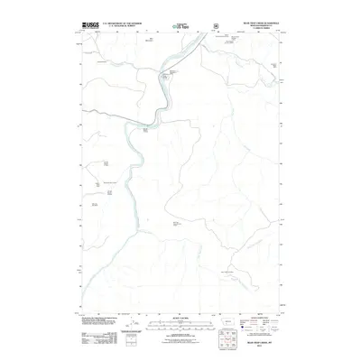
2011 Map of Bear Trap Creek
USGS Topo · Published 2011About this map
Mining operations and ranching properties define this 2011 survey of Madison County, Montana. The serpentine course of the Madison River serves as the central geographic feature, crossed by the Madison River Bridge near the Beartrap Recreation Area. The landscape is marked by a legacy of extraction, with numerous specific claims including the Morning Star Mine and Copper King Mine dotting the terrain. Further north, the Moore Ranch family of operations, such as Moore Ranch Number 1 Mine, indicate clustered industrial activity in the vicinity of Red Mountain. Evidence of high-country ranching persists through locations like Stephens Ranch along Cold Spring Creek, while the eastern reaches are drained by Pole Creek and the West Fork Pole Creek. This map captures a specific moment in the land use of the Bear Trap Creek drainage, balancing recreation, resource extraction, and traditional Montana ranching.
Find a feature on this map
25 named features on this map. Tap any name to fly to it.
Don’t see what you’re looking for? This feature index may not catch every label — zoom into the map to look around manually.
Map Details
Editions of this 2011 Bear Trap Creek Map
This is the sole edition of this map. No revisions or reprints were ever made.
Other maps of this area

1888 · Three Forks
USGS Topo · 1:250,000

1894 · Three Forks
USGS Topo · 1:250,000

1895 · Three Forks
USGS Topo · 1:250,000

1947 · Bozeman
USGS Topo · 1:250,000

1948 · Bozeman
USGS Topo · 1:250,000

1949 · Anceney
USGS Topo · 1:62,500

1949 · Ennis
USGS Topo · 1:62,500

1949 · Norris
USGS Topo · 1:62,500

1950 · Spanish Peaks
USGS Topo · 1:62,500

1951 · Norris
USGS Topo · 1:62,500