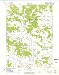
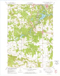
1983 Map of Bear Valley
USGS Topo · Published 1983About this map
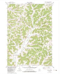
Keyesville and the community of Bear Valley anchor this 1980s landscape at the boundary of Richland and Sauk Counties. The terrain is defined by a dense network of hollows and ridges, including Jacquish Ridge and Keyesville Ridge, which dictate the winding paths of rural thoroughfares like St Killian Road and Croal Road. Local religious life is well-documented through sites such as Our Lady of the Fields Chapel, St Killian Ch, and the Bear Valley Ch located near the Bear Valley Cem.
Find a feature on this map
44 named features on this map. Tap any name to fly to it.
Don’t see what you’re looking for? This feature index may not catch every label — zoom into the map to look around manually.
Map Details
Editions of this 1983 Bear Valley Map
This is the sole edition of this map. No revisions or reprints were ever made.
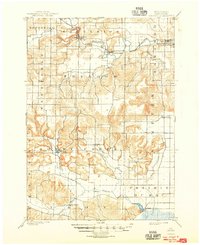
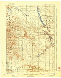
Historical Maps of Ithaca Through Time
17 maps found
1901 Denzer
Sauk County, WI
1901 The Dells
Sauk County, WI
1974 Baraboo NW
Sauk County, WI
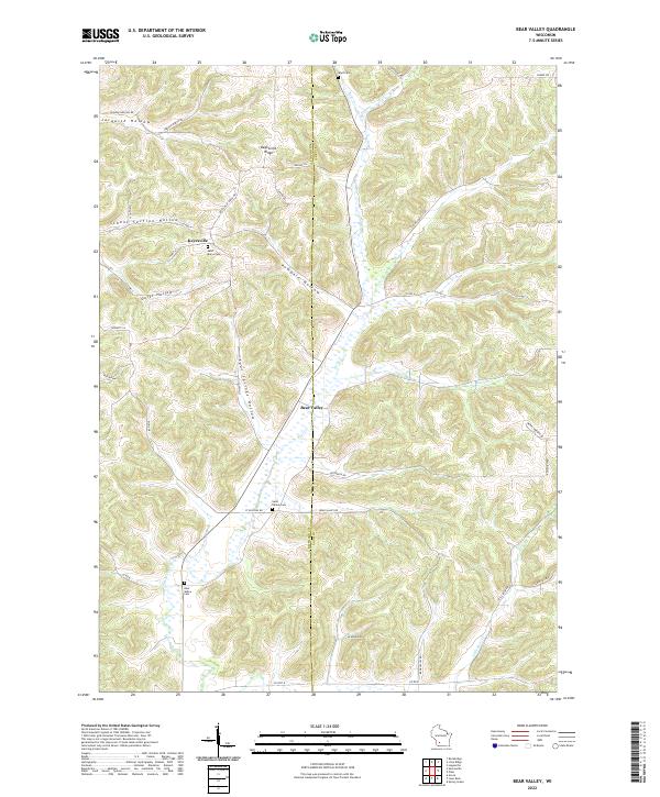
1975 Black Hawk
Sauk County, WI

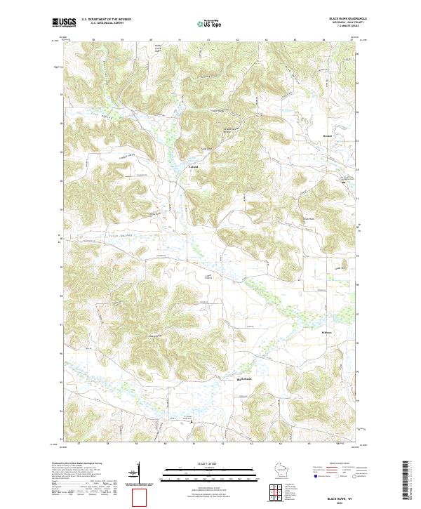
1975 Lewiston
Sauk County, WI
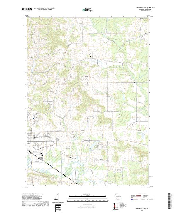
1975 Reedsburg East
Sauk County, WI
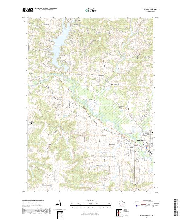
1975 Reedsburg West
Sauk County, WI
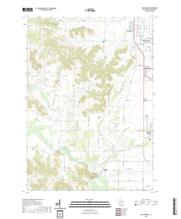
1975 Sauk Prairie
Sauk County, WI
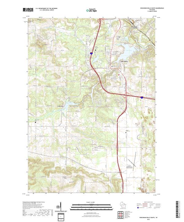
1975 Wisconsin Dells South
Sauk County, WI
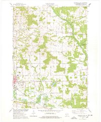
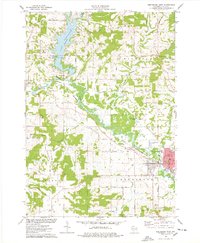
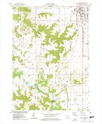
1983 Bear Valley
Sauk County, WI
2022 Bear Valley
Sauk County, WI
2022 Black Hawk
Sauk County, WI
2022 Lewiston
Sauk County, WI
2022 Reedsburg East
Sauk County, WI
2022 Reedsburg West
Sauk County, WI
2022 Sauk Prairie
Sauk County, WI
2022 Wisconsin Dells South
Sauk County, WI