1974 Map of Beardsley
USGS Topo · Published 1976About this map
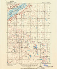
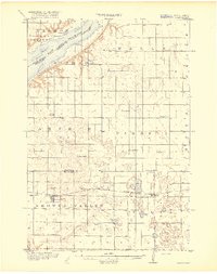
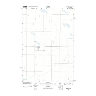
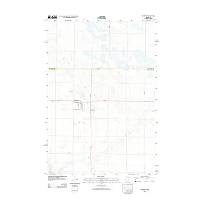
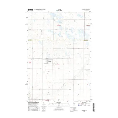
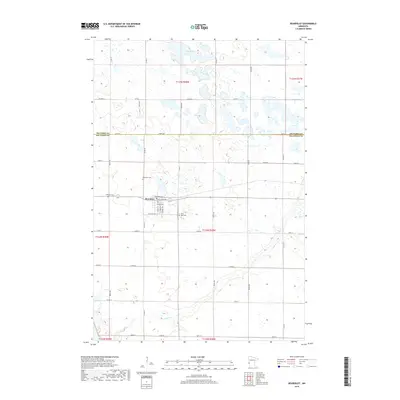
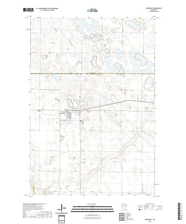
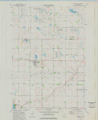
The town of Beardsley serves as the focal point of this mid-1970s survey, situated along the Burlington Northern line on the border of Big Stone and Traverse counties. The landscape is defined by the heavy presence of managed wetlands and waterfowl habitats, including numerous segments of the National Waterfowl Production Area and the Mallard Hole State Wildlife Management Area. This concentration of conservation land alongside active Gravel Pits illustrates the dual nature of the region's land use during this era. Genealogists will find the locations of three distinct burial grounds near the settlement: Beardsley Cem, St Mary Cem, and Midway Cem. To the south, the terrain descends toward Big Stone Lake, while the interior is drained by systems like Fish Creek and County Ditch No 7.
Find a feature on this map
20 named features on this map. Tap any name to fly to it.
Don’t see what you’re looking for? This feature index may not catch every label — zoom into the map to look around manually.
Map Details
Editions of this 1974 Beardsley Map
This is the sole edition of this map. No revisions or reprints were ever made.
Historical Maps of Beardsley Through Time
8 maps found