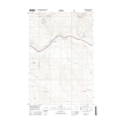
2014 Map of Bearmouth
USGS Topo · Published 2014About this map
Bearmouth serves as a central hub in this Montana landscape, situated where the Clark Fork river and several historical transportation routes converge. The terrain is defined by a dense network of gulches and ridges, including McKnight Gulch and the prominent Harvey Ridge to the southwest. The presence of the Lolo National Forest boundary indicates the transition into protected mountain lands, while the Bearmouth Spring remains a notable water source near the river.
Find a feature on this map
40 named features on this map. Tap any name to fly to it.
Don’t see what you’re looking for? This feature index may not catch every label — zoom into the map to look around manually.
Map Details
Editions of this 2014 Bearmouth Map
This is the sole edition of this map. No revisions or reprints were ever made.
Other maps of this area

1919 · Drummond
USGS Topo · 1:125,000

1921 · Drummond
USGS Topo · 1:125,000

1947 · Butte
USGS Topo · 1:250,000

1958 · Butte
USGS Topo · 1:250,000

1958 · Drummond
USGS Topo · 1:62,500

1959 · Bearmouth
USGS Topo · 1:62,500

1960 · Butte
USGS Topo · 1:250,000

1962 · Butte
USGS Topo · 1:250,000

1965 · Union Peak
USGS Topo · 1:24,000

1965 · Wild Horse Parks
USGS Topo · 1:24,000