
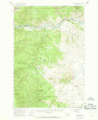
1959 Map of Bearmouth
USGS Topo · Published 1961About this map
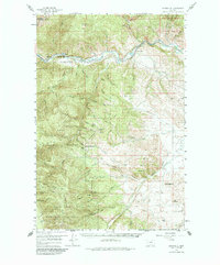
The Clark Fork river valley serves as the primary corridor for transportation and industry in this 1950s survey of Granite County. Following the river's path, the Northern Pacific and Chicago Milwaukee St Paul and Pacific railroads parallel the historic Mullan Road, connecting small settlements like Bearmouth, Nimrod, and Byrne. Evidence of local mineral extraction is visible in the dredge tailings found along the southern watercourses, while the high country is defined by the John Long Mountains and Harvey Ridge.
Find a feature on this map
81 named features on this map. Tap any name to fly to it.
Don’t see what you’re looking for? This feature index may not catch every label — zoom into the map to look around manually.
Map Details
Editions of this 1959 Bearmouth Map
3 editions found
Other maps of this area

1903 · Bonner
USGS Topo · 1:125,000

1908 · Philipsburg
USGS Topo · 1:125,000

1909 · Sapphire
USGS Topo · 1:125,000

1919 · Drummond
USGS Topo · 1:125,000

1921 · Drummond
USGS Topo · 1:125,000

1947 · Butte
USGS Topo · 1:250,000

1958 · Butte
USGS Topo · 1:250,000

1958 · Drummond
USGS Topo · 1:62,500

1959 · Ravenna
USGS Topo · 1:62,500

1960 · Butte
USGS Topo · 1:250,000