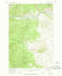
1959 Map of Bearmouth
USGS Topo · Published 1968About this map
Clark Fork canyon serves as the primary corridor for industry and transit in this late-1950s survey of Granite County. The narrow valley floor is tightly packed with competing infrastructure, most notably the dual rail lines of the Northern Pacific and the Chicago Milwaukee St Paul and Pacific. The tiny settlement of Bearmouth sits at a critical junction where trails and roads begin their ascent into the surrounding high country.
Find a feature on this map
100 named features on this map. Tap any name to fly to it.
Don’t see what you’re looking for? This feature index may not catch every label — zoom into the map to look around manually.
Map Details
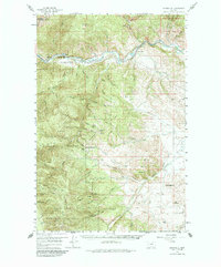
Editions of this 1959 Bearmouth Map
3 editions found
Other maps of this area

1903 · Bonner
USGS Topo · 1:125,000

1908 · Philipsburg
USGS Topo · 1:125,000

1909 · Sapphire
USGS Topo · 1:125,000

1919 · Drummond
USGS Topo · 1:125,000

1921 · Drummond
USGS Topo · 1:125,000

1947 · Butte
USGS Topo · 1:250,000

1958 · Butte
USGS Topo · 1:250,000

1958 · Drummond
USGS Topo · 1:62,500

1959 · Bearmouth
USGS Topo · 1:62,500

1959 · Ravenna
USGS Topo · 1:62,500