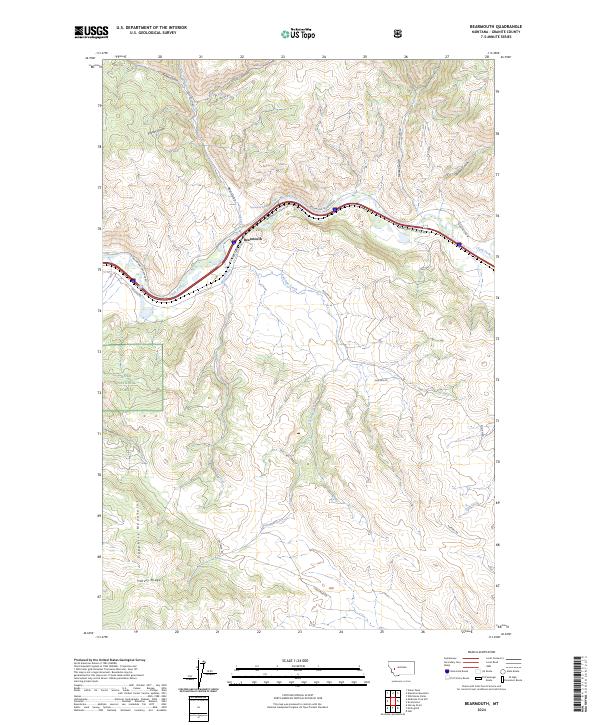
2024 Map of Bearmouth
USGS Topo · Published 2024About this map
Bearmouth occupies a strategic position along the Clark Fork river, where the corridor serves as a vital transportation artery through the heart of the Sapphire Mountains. This landscape is defined by its deep drainages and ridges, including Harvey Ridge and the McKnight Gulch, illustrating the complex topography that directed early Montana movement. Historical travel patterns are preserved in the route of the Mullan Rd, which parallels modern infrastructure like the Drummond Frontage Rd.
Find a feature on this map
36 named features on this map. Tap any name to fly to it.
Don’t see what you’re looking for? This feature index may not catch every label — zoom into the map to look around manually.
Map Details
Editions of this 2024 Bearmouth Map
This is the sole edition of this map. No revisions or reprints were ever made.
Other maps of this area

1919 · Drummond
USGS Topo · 1:125,000

1921 · Drummond
USGS Topo · 1:125,000

1947 · Butte
USGS Topo · 1:250,000

1958 · Butte
USGS Topo · 1:250,000

1958 · Drummond
USGS Topo · 1:62,500

1959 · Bearmouth
USGS Topo · 1:62,500

1960 · Butte
USGS Topo · 1:250,000

1962 · Butte
USGS Topo · 1:250,000

1965 · Union Peak
USGS Topo · 1:24,000

1965 · Wild Horse Parks
USGS Topo · 1:24,000