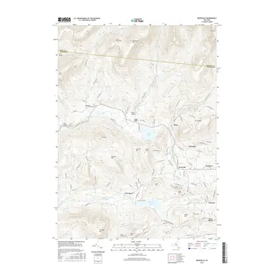
2016 Map of Bearsville
USGS Topo · Published 2016About this map
The artist colony at Byrdcliffe and the hamlet of Bearsville anchor the southern valleys of this Catskills landscape during the mid-2010s. The terrain is defined by a series of prominent peaks, including Mt Tobias, Olderbark Mtn, and Ticetonyk Mtn, which frame narrow hollows and creek valleys. Notable waterways such as the Beaver Kill and Saw Kill thread through the hills, while Cooper Lake and Yankeetown Pond provide substantial water features in an area known for its creative and residential character. The map illustrates a dense network of local roads and family-named routes like Sickler Rd and Shultis Farm Rd, reflecting the long-standing settlement patterns of the Woodstock area. This survey also records the county boundary where Ulster Co meets Greene Co along the northern ridges, showing the relationship between these mountain townships.
Find a feature on this map
101 named features on this map. Tap any name to fly to it.
Don’t see what you’re looking for? This feature index may not catch every label — zoom into the map to look around manually.
Map Details
Editions of this 2016 Bearsville Map
This is the sole edition of this map. No revisions or reprints were ever made.
Other maps of this area

1892 · Kaaterskill
USGS Topo · 1:62,500

1893 · Kaaterskill
USGS Topo · 1:62,500

1894 · Kaaterskill
USGS Topo · 1:62,500

1899 · Kaaterskill
USGS Topo · 1:62,500

1900 · Phoenicia
USGS Topo · 1:62,500

1901 · Rosendale
USGS Topo · 1:62,500

1903 · Rosendale
USGS Topo · 1:62,500

1903 · Phoenicia
USGS Topo · 1:62,500

1903 · Kaaterskill
USGS Topo · 1:62,500

1903 · Slide Mountain
USGS Topo · 1:62,500