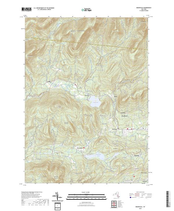
2023 Map of Bearsville
USGS Topo · Published 2023About this map
Woodstock and its artistic enclave of Byrdcliffe sit at the base of Mount Guardian, where the southern Catskills descend toward the Saw Kill. This 2023 survey documents the modern layout of these historic creative communities alongside established hamlets like Bearsville and Shady. The landscape is dominated by high peaks including Mount Tobias and Ticetonyk Mountain, with the large expanse of Cooper Lake serving as a central geographic anchor between Lake Hill and Mink Hollow.
Find a feature on this map
113 named features on this map. Tap any name to fly to it.
Don’t see what you’re looking for? This feature index may not catch every label — zoom into the map to look around manually.
Map Details
Editions of this 2023 Bearsville Map
This is the sole edition of this map. No revisions or reprints were ever made.
Other maps of this area

1892 · Kaaterskill
USGS Topo · 1:62,500

1893 · Kaaterskill
USGS Topo · 1:62,500

1894 · Kaaterskill
USGS Topo · 1:62,500

1899 · Kaaterskill
USGS Topo · 1:62,500

1900 · Phoenicia
USGS Topo · 1:62,500

1901 · Rosendale
USGS Topo · 1:62,500

1903 · Rosendale
USGS Topo · 1:62,500

1903 · Phoenicia
USGS Topo · 1:62,500

1903 · Kaaterskill
USGS Topo · 1:62,500

1903 · Slide Mountain
USGS Topo · 1:62,500