
1932 Map of Beartrap Canyon
USGS Topo · Published 1932About this map
Santa Barbara National Forest dominates this 1930s survey, revealing a landscape defined by early infrastructure and canyon terrain on the border of Los Angeles and Ventura counties. A critical corridor for travel and utility is visible along U S Highway No 99 and the adjacent Transmission Line, which cut through the mountainous interior. Industrial development in this era is anchored by the General Petroleum Company Liebre Pumping Sta, a significant waypoint for the regional petroleum economy of the early 20th century.
Find a feature on this map
22 named features on this map. Tap any name to fly to it.
Don’t see what you’re looking for? This feature index may not catch every label — zoom into the map to look around manually.
Map Details
Editions of this 1932 Beartrap Canyon Map
This is the sole edition of this map. No revisions or reprints were ever made.
Other maps of this area

1903 · Tejon
USGS Topo · 1:125,000

1931 · Whitaker Peak
USGS Topo · 1:24,000

1931 · Redrock Mtn
USGS Topo · 1:24,000

1932 · Neenach
USGS Topo · 1:24,000

1933 · Quail
USGS Topo · 1:24,000

1933 · Gorman
USGS Topo · 1:24,000

1935 · Whitaker Peak
USGS Topo · 1:24,000
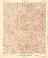
1936 · Redrock Mtn.
USGS Topo · 1:24,000
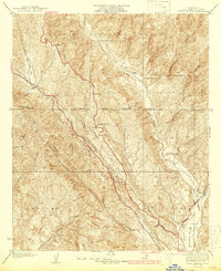
1937 · Violin Canyon
USGS Topo · 1:24,000

1938 · Beartrap Canyon
USGS Topo · 1:24,000