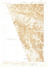
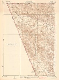
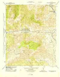
1933 Map of Gorman
USGS Topo · Published 1933About this map
Gorman and the strategic Tejon Pass serve as the focal points of this 1930s survey along the mountainous border of Los Angeles and Kern counties. This area, largely defined by the Santa Barbara National Forest, shows the critical transportation corridor of Highway No. 99 as it winds through Peace Valley. The landscape is a mix of steep canyons like Bear Canyon and high-elevation passes that have historically dictated travel between the Central Valley and Southern California.
Find a feature on this map
21 named features on this map. Tap any name to fly to it.
Don’t see what you’re looking for? This feature index may not catch every label — zoom into the map to look around manually.
Map Details
Editions of this 1933 Gorman Map
This is the sole edition of this map. No revisions or reprints were ever made.
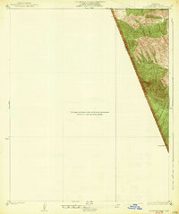
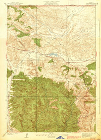
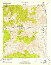
Other maps of this area

1903 · Tejon
USGS Topo · 1:125,000
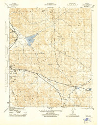
1932 · Beartrap Canyon
USGS Topo · 1:24,000
1933 · Quail
USGS Topo · 1:24,000
1938 · Beartrap Canyon
USGS Topo · 1:24,000
1938 · Gorman
USGS Topo · 1:24,000
1938 · Black Mountain
USGS Topo · 1:24,000
1938 · Quail
USGS Topo · 1:24,000
1942 · Frazier Mountain
USGS Topo · 1:24,000
1944 · Frazier Mountain
USGS Topo · 1:31,680
1945 · Lebec
USGS Topo · 1:31,680