
1938 Map of Gorman
USGS Topo · Published 1938About this map
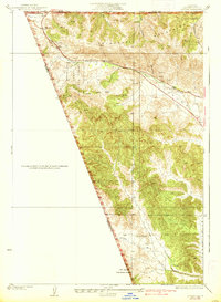
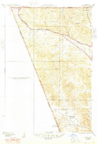
Gorman sits at a critical tectonic and navigational junction in the late 1930s, where the high desert meets the northern reaches of Los Angeles County. The map clearly delineates the San Andreas Rift Zone slicing through the landscape, creating the distinct topography of Peace Valley and the surrounding Tehachapi Mountains. This period of California history is marked by early automobile travel, evidenced by the presence of the Old Ridge Route and the Frazier Mtn Park Road, which facilitated transit through the formidable Tejon Pass. Small settlements and landmarks like Chandler and Alamo Ranch appear alongside a prominent transmission line, signaling the burgeoning infrastructure connecting the Central Valley to the Southern California coast. The western edge of the quadrangle is dominated by the steep canyons and ridges of the Los Padres National Forest, illustrating the transition from rural ranching outposts to protected wilderness areas.
Find a feature on this map
18 named features on this map. Tap any name to fly to it.
Don’t see what you’re looking for? This feature index may not catch every label — zoom into the map to look around manually.
Map Details
Editions of this 1938 Gorman Map
3 editions found
Other maps of this area

1903 · Tejon
USGS Topo · 1:125,000

1932 · Beartrap Canyon
USGS Topo · 1:24,000

1933 · Quail
USGS Topo · 1:24,000

1933 · Gorman
USGS Topo · 1:24,000

1938 · Beartrap Canyon
USGS Topo · 1:24,000

1938 · Black Mountain
USGS Topo · 1:24,000

1938 · Quail
USGS Topo · 1:24,000

1942 · Frazier Mountain
USGS Topo · 1:24,000
1944 · Frazier Mountain
USGS Topo · 1:31,680
1945 · Lebec
USGS Topo · 1:31,680