
1938 Map of Black Mountain
USGS Topo · Published 1938About this map
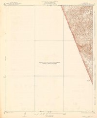
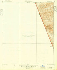
Los Padres National Forest dominates this 1930s topographic study of the steep terrain along the border of Los Angeles and Ventura counties. The map focuses on the drainage of Piru Creek, which carves through the mountains toward the southern edge of the sheet. Rising prominently at the southern extent is Dome Mtn, a landform that defines the local topography in this sparsely settled region. This survey, conducted by C.W.H.Nessler in 1932, reveals a landscape primarily dedicated to public forest lands, with few indications of human development beyond the county boundary lines and a solitary Spring. The sheer verticality of the terrain is captured with 25-foot contour intervals, providing an exact record of the watershed before mid-century changes in the region.
Find a feature on this map
6 named features on this map. Tap any name to fly to it.
Don’t see what you’re looking for? This feature index may not catch every label — zoom into the map to look around manually.
Map Details
Editions of this 1938 Black Mountain Map
3 editions found
Other maps of this area

1903 · Tejon
USGS Topo · 1:125,000

1931 · Whitaker Peak
USGS Topo · 1:24,000

1932 · Beartrap Canyon
USGS Topo · 1:24,000

1933 · Quail
USGS Topo · 1:24,000

1933 · Gorman
USGS Topo · 1:24,000

1935 · Whitaker Peak
USGS Topo · 1:24,000

1938 · Beartrap Canyon
USGS Topo · 1:24,000

1938 · Gorman
USGS Topo · 1:24,000

1938 · Quail
USGS Topo · 1:24,000
1943 · Devils Heart Peak
USGS Topo · 1:24,000