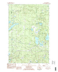
1982 Map of Beaton
USGS Topo · Published 1983About this map
The small settlement of Beaton sits at the junction of a pipeline and the Chicago and North Western rail line, serving as a rare point of human habitation in this densely forested corner of the Ottawa National Forest. The landscape is defined by its glacial hydrology, featuring a cluster of interconnected water bodies including Beatons Lake, Wolf Lake, and the uniquely named Crazy Bear Lake.
Find a feature on this map
52 named features on this map. Tap any name to fly to it.
Don’t see what you’re looking for? This feature index may not catch every label — zoom into the map to look around manually.
Map Details
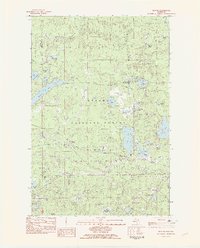
Editions of this 1982 Beaton Map
2 editions found
Other maps of this area

1938 · Phelps
USGS Topo · 1:48,000

1946 · Star Lake
USGS Topo · 1:48,000

1950 · Phelps
USGS Topo · 1:48,000

1950 · Star Lake
USGS Topo · 1:48,000

1952 · Watersmeet
USGS Topo · 1:62,500

1952 · Thayer
USGS Topo · 1:62,500

1955 · Starlake
USGS Topo · 1:62,500

1956 · Phelps
USGS Topo · 1:62,500

1958 · Iron River
USGS Topo · 1:250,000

1960 · Iron River
USGS Topo · 1:250,000