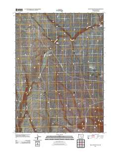
2011 Map of Beatys Butte NW
USGS Topo · Published 2011About this map
Guano Slough meanders across this high desert landscape in Lake County, Oregon, defining the drainage patterns of this arid region. The terrain is marked by distinct erosional features including Blocks Canyon and Guano Canyon, which reveal the underlying volcanic geology of the Oregon high country. Navigation and access in this isolated area are provided by a sparse network of unpaved routes, most notably D J Spring Rd and Beatys Butte Rd. This 2011 survey captures the area's transition between wide basins and sudden depressions like West Road Gulch, illustrating the topography of the Great Basin's northern edge before modern development altered these remote public lands.
Find a feature on this map
6 named features on this map. Tap any name to fly to it.
Don’t see what you’re looking for? This feature index may not catch every label — zoom into the map to look around manually.
Map Details
Editions of this 2011 Beatys Butte NW Map
This is the sole edition of this map. No revisions or reprints were ever made.
Other maps of this area

1955 · Adel
USGS Topo · 1:250,000

1957 · Adel
USGS Topo · 1:250,000

1958 · Adel
USGS Topo · 1:250,000

1962 · Adel
USGS Topo · 1:250,000

1967 · Flook Lake
USGS Topo · 1:24,000

1967 · Alger Lake
USGS Topo · 1:24,000

1967 · Swede Knoll
USGS Topo · 1:24,000

1971 · Beatys Butte
USGS Topo · 1:24,000

1971 · Mahogany Butte
USGS Topo · 1:24,000

1971 · Murphy Waterholes
USGS Topo · 1:24,000