
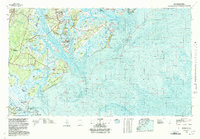
1978 Map of Beaufort
USGS Topo · Published 1978About this map
The Lowcountry of South Carolina and coastal Georgia is defined here by its complex estuarine systems and military footprint during the late 1970s. Massive federal installations dominate the landscape near Beaufort, including the US Naval Reservation Marine Corps Air Station and the US Naval Reservation Marine Recruit Depot on Parris Island. These facilities, positioned between the Coosaw River and Port Royal Sound, illustrate the region's enduring strategic importance.
Find a feature on this map
45 named features on this map. Tap any name to fly to it.
Don’t see what you’re looking for? This feature index may not catch every label — zoom into the map to look around manually.
Map Details
Editions of this 1978 Beaufort Map
2 editions found
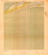
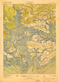
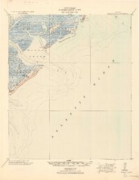
Other maps of this area
1918 · Kiawah Island
USGS Topo · 1:21,120

1918 · Green Pond
USGS Topo · 1:62,500

1918 · Yemassee
USGS Topo · 1:62,500

1919 · Pineland
USGS Topo · 1:62,500
1919 · Edisto Island
USGS Topo · 1:62,500

1919 · Wadmelaw Island
USGS Topo · 1:62,500

1920 · Hardeeville
USGS Topo · 1:62,500

1920 · Okatie
USGS Topo · 1:62,500

1920 · St. Helena Sound
USGS Topo · 1:62,500
1920 · Wassaw Sound
USGS Topo · 1:62,500