Loading...
Loading map...2022 Map of Beaufort
USGS Topo · Published 2022About this map
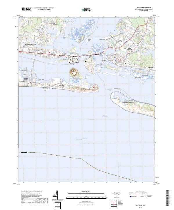
Beaufort and Morehead City anchor this coastal landscape where the Intracoastal Waterway meets the Atlantic. The region's civic heart is centered around the Carteret County Courthouse and the Beaufort Restoration Grounds, while the local aviation history is represented by Michael J Smith Field. This map details a complex maritime environment of sounds and barrier islands, including the protected reaches of the Cape Lookout National Seashore at Shackleford Banks.
Find a feature on this map
135 named features on this map. Tap any name to fly to it.
Don’t see what you’re looking for? This feature index may not catch every label — zoom into the map to look around manually.
Map Details
Date Portrayed2022
Date Published2022
PublisherU.S. Geological Survey
Map TypeTopographic
Scale1:24000
Physical Dimensions24 x 29 inches
Editions of this 2022 Beaufort Map
This is the sole edition of this map. No revisions or reprints were ever made.
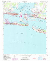
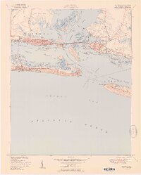
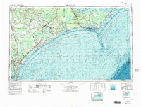
Historical Maps of Keeter Park Through Time
6 maps found


Featured Locations
Source Details
SourceU.S. Geological Survey
CopyrightPublic Domain