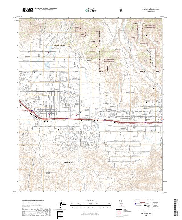
2021 Map of Beaumont
USGS Topo · Published 2021About this map
Beaumont and Banning serve as the primary anchors of this high-desert pass, illustrating the modern residential expansion between the San Jacinto Mountains and the San Bernardino National Forest. The map details a landscape defined by complex water management and topography, from the deep incisions of Banning Canyon and Mias Canyon to the seasonal drainage of Noble Creek and Potrero Creek.
Find a feature on this map
74 named features on this map. Tap any name to fly to it.
Don’t see what you’re looking for? This feature index may not catch every label — zoom into the map to look around manually.
Map Details
Editions of this 2021 Beaumont Map
This is the sole edition of this map. No revisions or reprints were ever made.
Other maps of this area

1899 · Redlands
USGS Topo · 1:62,500

1901 · Southern California Sheet No. 1
USGS Topo · 1:250,000

1901 · San Jacinto
USGS Topo · 1:125,000

1901 · Redlands
USGS Topo · 1:62,500

1901 · Elsinore
USGS Topo · 1:125,000

1902 · San Gorgonio
USGS Topo · 1:125,000

1904 · Southern California Sheet No. 1
USGS Topo · 1:250,000

1942 · Banning
USGS Topo · 1:62,500

1942 · Perris
USGS Topo · 1:62,500

1943 · Perris
USGS Topo · 1:62,500