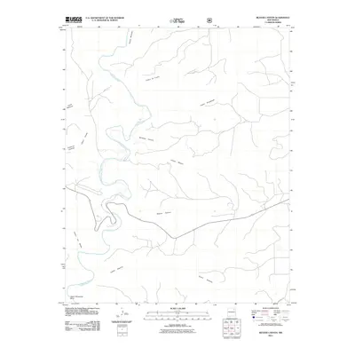
2011 Map of Beaver Canyon
USGS Topo · Published 2011About this map
The Canadian River carves a winding path through this corner of Harding County, creating a dramatic series of canyon systems and riparian bends. Among the most prominent geographic features is the Upper Horseshoe Bend, where the river loops tightly before continuing its southward journey. This landscape is defined by its deep drainage networks, including Whitman Canyon and the titular Beaver Canyon, which converge toward the river valley.
Find a feature on this map
15 named features on this map. Tap any name to fly to it.
Don’t see what you’re looking for? This feature index may not catch every label — zoom into the map to look around manually.
Map Details
Editions of this 2011 Beaver Canyon Map
This is the sole edition of this map. No revisions or reprints were ever made.
Other maps of this area

1954 · Santa Fe
USGS Topo · 1:250,000

1954 · Raton
USGS Topo · 1:250,000

1958 · Raton
USGS Topo · 1:250,000

1958 · Santa Fe
USGS Topo · 1:250,000

1971 · Beaver Canyon
USGS Topo · 1:24,000

1971 · Alamito
USGS Topo · 1:24,000

1971 · Canon Las Cuevas
USGS Topo · 1:24,000

1971 · Canon Encierro
USGS Topo · 1:24,000

1972 · Canon Colorado
USGS Topo · 1:24,000

1972 · Mills West
USGS Topo · 1:24,000