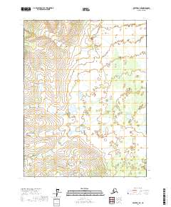
2017 Map of Beaver D-1 NE
USGS Topo · Published 2017About this map
Unincorporated land within the T25n R2e and T25n R3e townships characterizes this remote portion of the Yukon-Koyukuk Census Area. The landscape is dominated by a complex network of wetlands and small, unnamed water bodies that increase in density as the elevation drops toward the southern margins of T24n R2e and T24n R3e. This interior Alaskan terrain shows no evidence of permanent settlements or modern road infrastructure, representing a preservation of the wilderness state as it existed in the early twenty-first century. The grid lines of the Public Land Survey System serve as the primary human identifiers for this vast expanse of hydrography and varying contour elevations.
Find a feature on this map
4 named features on this map. Tap any name to fly to it.
Don’t see what you’re looking for? This feature index may not catch every label — zoom into the map to look around manually.
Map Details
Editions of this 2017 Beaver D-1 NE Map
This is the sole edition of this map. No revisions or reprints were ever made.
Other maps of this area

1951 · Fort Yukon
USGS Topo · 1:250,000

1951 · Chandalar
USGS Topo · 1:250,000

1951 · Christian
USGS Topo · 1:250,000

1951 · Beaver
USGS Topo · 1:250,000

1956 · Chandalar
USGS Topo · 1:250,000

1956 · Beaver
USGS Topo · 1:250,000

1956 · Christian
USGS Topo · 1:250,000

1956 · Fort Yukon
USGS Topo · 1:250,000
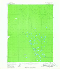
1956 · Fort Yukon D-6
USGS Topo · 1:63,360

1964 · Chandalar
USGS Topo · 1:250,000