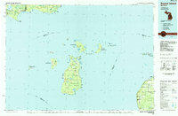
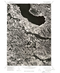
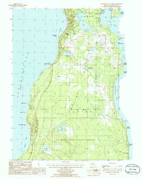
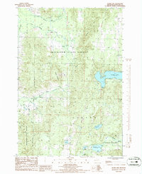
1984 Map of Beaver Island
USGS Topo · Published 1985This historical map portrays the area of Beaver Island in 1984, primarily covering Charlevoix County as well as portions of Emmet County, Mackinac County, Schoolcraft County, and Leelanau County. Featuring a scale of 1:100000, this map provides a highly detailed snapshot of the terrain, roads, buildings, counties, and historical landmarks in the Beaver Island region at the time. Published in 1985, it is one of 2 known editions of this map due to revisions or reprints.
Find a feature on this map
110 named features on this map. Tap any name to fly to it.
Don’t see what you’re looking for? This feature index may not catch every label — zoom into the map to look around manually.
Map Details
Editions of this 1984 Beaver Island Map
2 editions found
Historical Maps of Newton Township Through Time
14 maps found
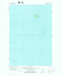
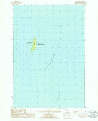
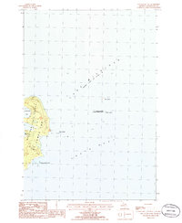
1955 Gull Island
Charlevoix County, MI
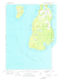
1956 Beaver Island
Charlevoix County, MI
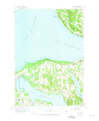
1958 Bayshore
Charlevoix County, MI
1975 Boyne City NE
Charlevoix County, MI
1975 Boyne City NW
Charlevoix County, MI
1980 Garden Island West
Charlevoix County, MI
1984 Beaver Island
Charlevoix County, MI
1986 Beaver Island North
Charlevoix County, MI
1986 Beaver Island South
Charlevoix County, MI
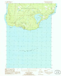
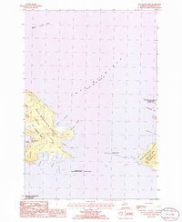
1986 Gull Island
Charlevoix County, MI
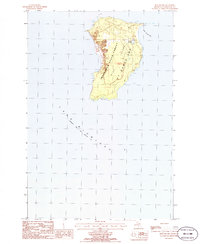
1986 High Island
Charlevoix County, MI
1986 Hog Island East
Charlevoix County, MI
1986 Hog Island West
Charlevoix County, MI
1986 Thumb Lake
Charlevoix County, MI
Featured Locations
- Bliss Township, MI
- Friendship Township, MI
- Newton Township, MI
- Cross Village, Cross Village Township
- Saint James, Saint James Township