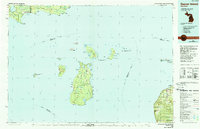
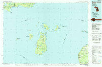
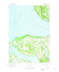
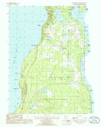
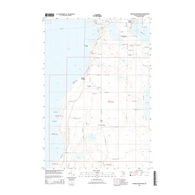
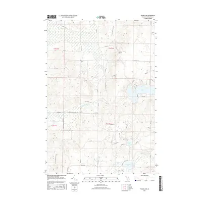
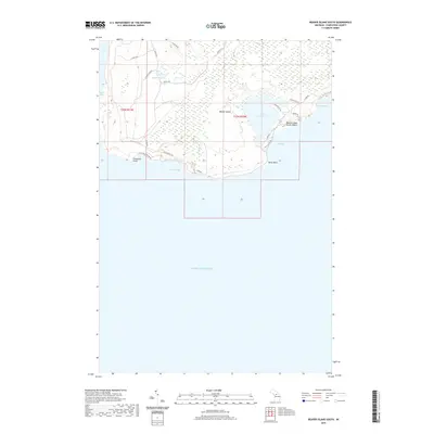
1984 Map of Beaver Island
USGS Topo · Published 1989About this map
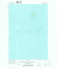
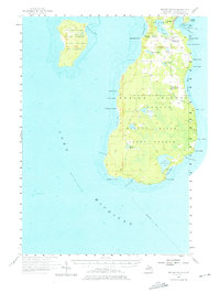
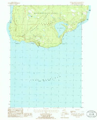
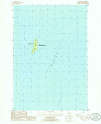
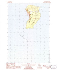
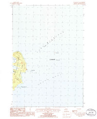
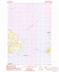
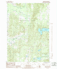
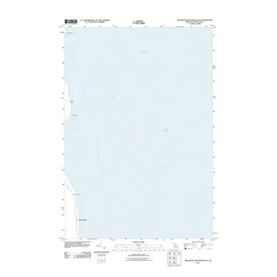
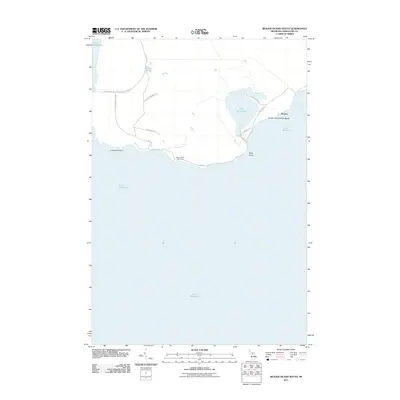
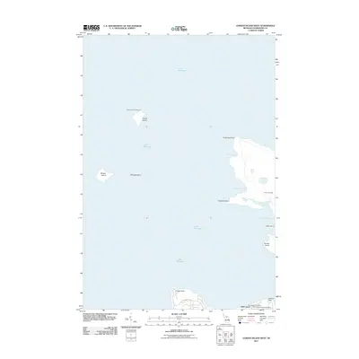
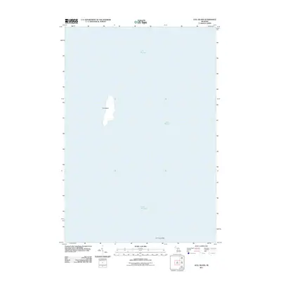
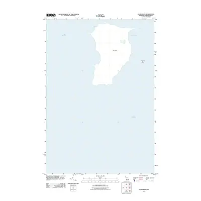
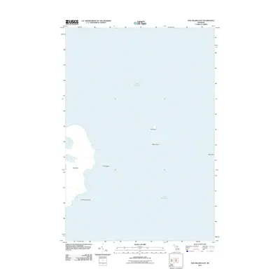
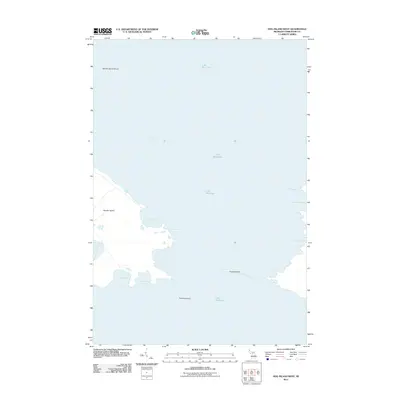
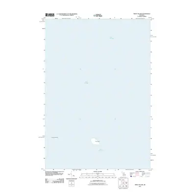
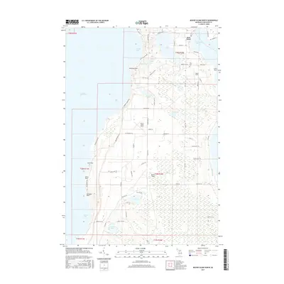
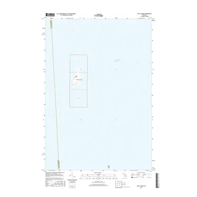
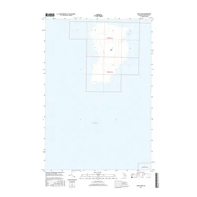
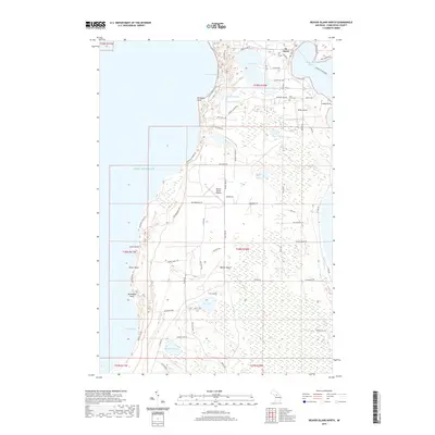
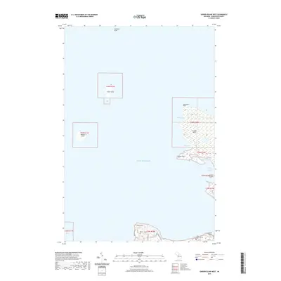
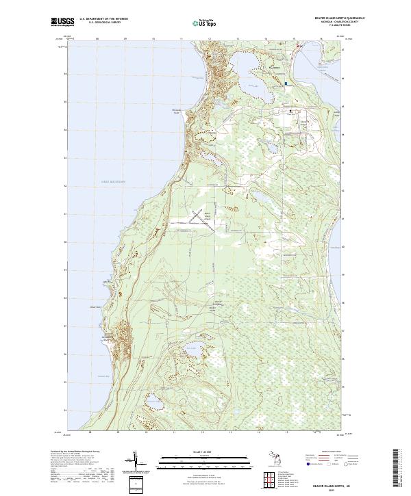
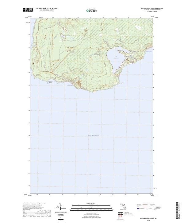
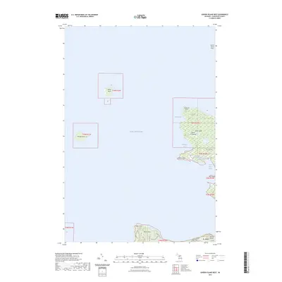
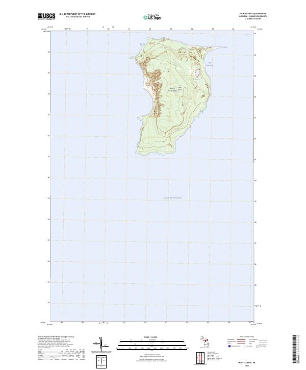
The remote archipelago of northern Lake Michigan anchors this mid-1980s survey, highlighting the isolated settlement of St James and the surrounding island chain. As part of the Mackinaw State Forest, the landscape on Beaver Island is characterized by interior lakes like Lake Geneserath and Font Lake, providing a clear view of the island's interior drainage and road network leading to the Beaver Island Airport. To the east, the mainland coast of the Lower Peninsula is detailed from Cross Village down through the quiet landings at Good Hart and Middle Village, tracing the shoreline along Sturgeon Bay. Significant maritime landmarks, including the St James Lighthouse and the distant Seul Choix Point Lighthouse on the Upper Peninsula shore, emphasize the area's navigational importance. The map also captures the smaller, uninhabited components of the Michigan Islands National Wildlife Refuge, such as Garden Island and High Island.
Find a feature on this map
111 named features on this map. Tap any name to fly to it.
Don’t see what you’re looking for? This feature index may not catch every label — zoom into the map to look around manually.
Map Details
Editions of this 1984 Beaver Island Map
2 editions found
Historical Maps of Cross Village Through Time
79 maps found
1955 Gull Island
Charlevoix County, MI
1956 Beaver Island
Charlevoix County, MI
1958 Bayshore
Charlevoix County, MI
1975 Boyne City NE
Charlevoix County, MI
1975 Boyne City NW
Charlevoix County, MI
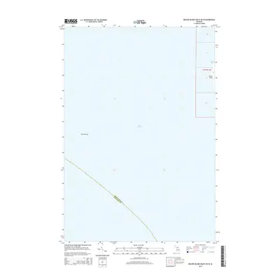
1980 Garden Island West
Charlevoix County, MI
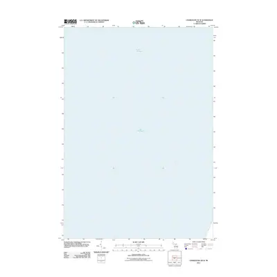
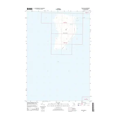
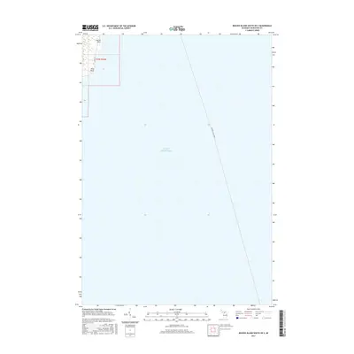
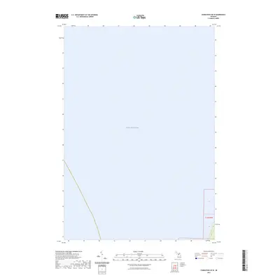
1984 Beaver Island
Charlevoix County, MI
1986 Beaver Island North
Charlevoix County, MI
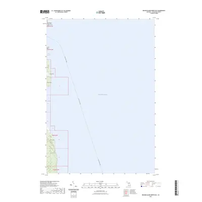
1986 Beaver Island South
Charlevoix County, MI
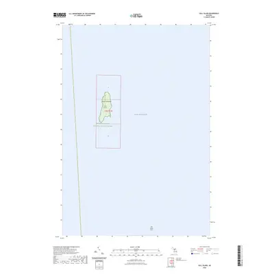
1986 Gull Island
Charlevoix County, MI
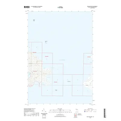
1986 High Island
Charlevoix County, MI
1986 Hog Island East
Charlevoix County, MI
1986 Hog Island West
Charlevoix County, MI
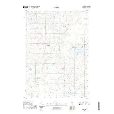
1986 Thumb Lake
Charlevoix County, MI
2011 Beaver Island North
Charlevoix County, MI
2011 Beaver Island North OE E
Charlevoix County, MI
2011 Beaver Island South
Charlevoix County, MI
2011 Beaver Island South OE E
Charlevoix County, MI
2011 Beaver Island South OE W
Charlevoix County, MI
2011 Charlevoix OE W
Charlevoix County, MI
2011 Garden Island West
Charlevoix County, MI
2011 Gull Island
Charlevoix County, MI
2011 High Island
Charlevoix County, MI
2011 Hog Island East
Charlevoix County, MI
2011 Hog Island West
Charlevoix County, MI
2011 Thumb Lake
Charlevoix County, MI
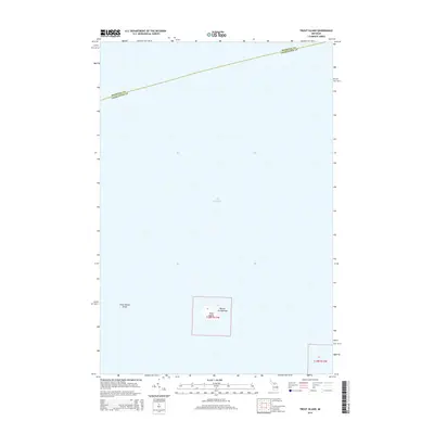
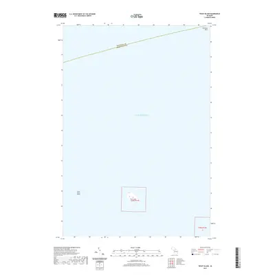
2011 Trout Island
Charlevoix County, MI
2014 Beaver Island North
Charlevoix County, MI
2014 Beaver Island North OE E
Charlevoix County, MI
2014 Beaver Island South
Charlevoix County, MI
2014 Beaver Island South OE E
Charlevoix County, MI
2014 Beaver Island South OE W
Charlevoix County, MI
2014 Charlevoix OE W
Charlevoix County, MI
2014 Garden Island West
Charlevoix County, MI
2014 Gull Island
Charlevoix County, MI
2014 High Island
Charlevoix County, MI
2014 Hog Island East
Charlevoix County, MI
2014 Hog Island West
Charlevoix County, MI
2014 Thumb Lake
Charlevoix County, MI
2014 Trout Island
Charlevoix County, MI
2017 Beaver Island North
Charlevoix County, MI
2017 Beaver Island North OE E
Charlevoix County, MI
2017 Beaver Island South
Charlevoix County, MI
2017 Beaver Island South OE E
Charlevoix County, MI
2017 Beaver Island South OE W
Charlevoix County, MI
2017 Charlevoix OE W
Charlevoix County, MI
2017 Garden Island West
Charlevoix County, MI
2017 Gull Island
Charlevoix County, MI
2017 High Island
Charlevoix County, MI
2017 Hog Island East
Charlevoix County, MI
2017 Hog Island West
Charlevoix County, MI
2017 Thumb Lake
Charlevoix County, MI
2017 Trout Island
Charlevoix County, MI
2019 Beaver Island North
Charlevoix County, MI
2019 Beaver Island North OE E
Charlevoix County, MI
2019 Beaver Island South
Charlevoix County, MI
2019 Beaver Island South OE E
Charlevoix County, MI
2019 Beaver Island South OE W
Charlevoix County, MI
2019 Charlevoix OE W
Charlevoix County, MI
2019 Garden Island West
Charlevoix County, MI
2019 Gull Island
Charlevoix County, MI
2019 High Island
Charlevoix County, MI
2019 Hog Island East
Charlevoix County, MI
2019 Hog Island West
Charlevoix County, MI
2019 Thumb Lake
Charlevoix County, MI
2019 Trout Island
Charlevoix County, MI
2023 Beaver Island North
Charlevoix County, MI
2023 Beaver Island North OE E
Charlevoix County, MI
2023 Beaver Island South
Charlevoix County, MI
2023 Beaver Island South OE E
Charlevoix County, MI
2023 Beaver Island South OE W
Charlevoix County, MI
2023 Charlevoix OE W
Charlevoix County, MI
2023 Garden Island West
Charlevoix County, MI
2023 Gull Island
Charlevoix County, MI
2023 High Island
Charlevoix County, MI
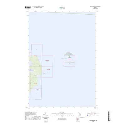
2023 Hog Island East
Charlevoix County, MI
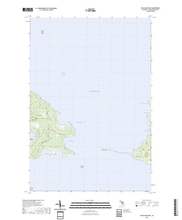
2023 Hog Island West
Charlevoix County, MI
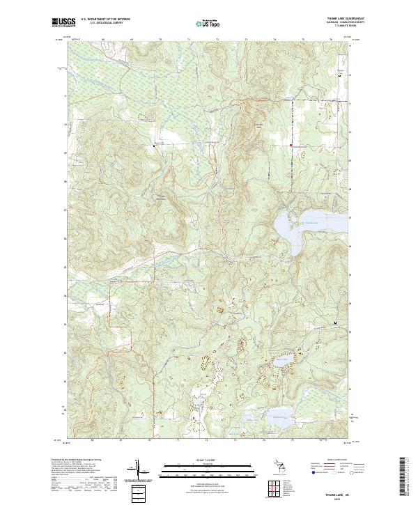
2023 Thumb Lake
Charlevoix County, MI
2023 Trout Island
Charlevoix County, MI
Featured Locations
- Bliss Township, MI
- Friendship Township, MI
- Newton Township, MI
- Cross Village, Cross Village Township
- Saint James, Saint James Township