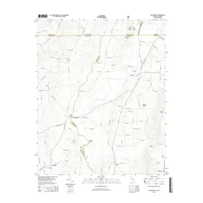
2014 Map of Beaverdale
USGS Topo · Published 2014About this map
The Conasauga River winds through this borderland region where Tennessee meets Georgia, defining much of the geography between Murray and Whitfield counties. Small crossroads communities and family-centered landmarks such as Beaverdale, Ruralvale, and Temple Grove dot the landscape, connected by a network of rural routes like Prater Mill Rd NE and Keith Valley Rd. The map reveals a high concentration of local history markers, including the Mt Pleasant Cem and the Shields Harris Cem near the state line.
Find a feature on this map
113 named features on this map. Tap any name to fly to it.
Don’t see what you’re looking for? This feature index may not catch every label — zoom into the map to look around manually.
Map Details
Editions of this 2014 Beaverdale Map
This is the sole edition of this map. No revisions or reprints were ever made.
Other maps of this area

1886 · Dalton
USGS Topo · 1:125,000

1886 · Cleveland
USGS Topo · 1:125,000

1892 · Cleveland
USGS Topo · 1:125,000

1892 · Dalton
USGS Topo · 1:125,000

1895 · Cleveland
USGS Topo · 1:125,000

1897 · Dalton
USGS Topo · 1:125,000

1901 · Cleveland
USGS Topo · 1:125,000

1911 · Cohutta Mtn
USGS Topo · 1:62,500

1913 · Cohutta Mtn.
USGS Topo · 1:62,500

1935 · Mc Donald
USGS Topo · 1:24,000