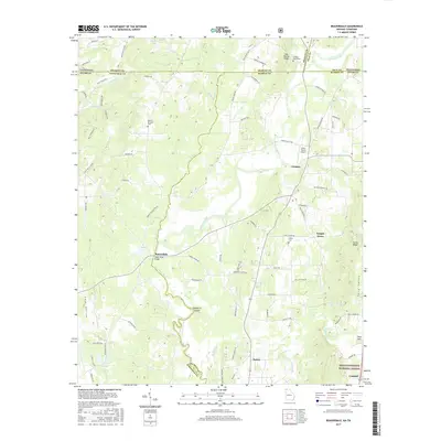
2017 Map of Beaverdale
USGS Topo · Published 2017About this map
The Conasauga River meanders through this borderland region where Whitfield Co, Murray Co, and Bradley Co converge. The landscape is defined by its agrarian and rural character, anchored by the community of Beaverdale and its historical river crossing at Upper Kings Bridge. Several small family and community burying grounds, including Shields-Harris Cem and Mount Pleasant Cem, are scattered among the ridges and valleys, serving as vital touchstones for genealogists tracing North Georgia and Southeast Tennessee families.
Find a feature on this map
89 named features on this map. Tap any name to fly to it.
Don’t see what you’re looking for? This feature index may not catch every label — zoom into the map to look around manually.
Map Details
Editions of this 2017 Beaverdale Map
This is the sole edition of this map. No revisions or reprints were ever made.
Other maps of this area

1886 · Dalton
USGS Topo · 1:125,000

1886 · Cleveland
USGS Topo · 1:125,000

1892 · Cleveland
USGS Topo · 1:125,000

1892 · Dalton
USGS Topo · 1:125,000

1895 · Cleveland
USGS Topo · 1:125,000

1897 · Dalton
USGS Topo · 1:125,000

1901 · Cleveland
USGS Topo · 1:125,000

1911 · Cohutta Mtn
USGS Topo · 1:62,500

1913 · Cohutta Mtn.
USGS Topo · 1:62,500

1935 · Mc Donald
USGS Topo · 1:24,000