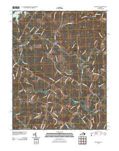
2010 Map of Beaverdam
USGS Topo · Published 2010About this map
Beaverdam and its surrounding countryside are captured here in a period of rural continuity, where family-named roads and established crossroads define the landscape. The northern edge of the map features the southeastern reaches of Lake Anna, while the North Anna River snakes along the eastern boundary, spanned by the Anderson Bridge. This 2010 topographic record reflects the agrarian heart of Louisa County, with small settlements like Bumpass, which maintains its Bumpass Post Office, and Greenes Corner serving as local anchors. Long-standing local landmarks such as Terrell Store and Old Bandana appear alongside various water bodies like Pug Swamp and Jones Swamp, illustrating the well-watered, low-lying character of the Virginia Piedmont. The road network, including the winding Tyler Station Rd and Hollowing Creek Rd, connects these scattered communities to the rail-influenced corridors of the past.
Find a feature on this map
69 named features on this map. Tap any name to fly to it.
Don’t see what you’re looking for? This feature index may not catch every label — zoom into the map to look around manually.
Map Details
Editions of this 2010 Beaverdam Map
This is the sole edition of this map. No revisions or reprints were ever made.
Other maps of this area

1887 · Spottsylvania
USGS Topo · 1:125,000

1890 · Goochland
USGS Topo · 1:125,000

1892 · Spottsylvania
USGS Topo · 1:125,000

1892 · Goochland
USGS Topo · 1:125,000

1942 · Ladysmith
USGS Topo · 1:31,680

1942 · Partlow
USGS Topo · 1:31,680

1942 · Contrary Creek
USGS Topo · 1:31,680

1942 · Buckner
USGS Topo · 1:24,000

1942 · Beaverdam
USGS Topo · 1:24,000

1943 · Mabelton
USGS Topo · 1:31,680