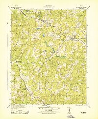
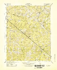
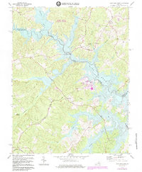
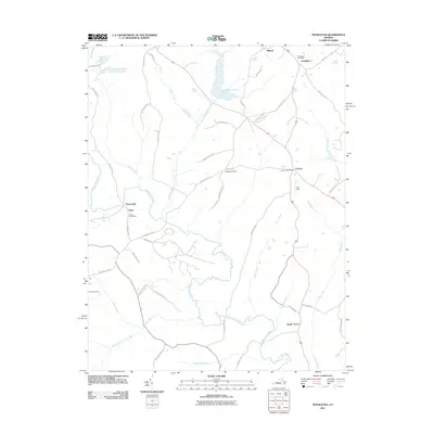
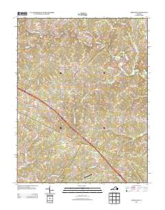
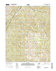
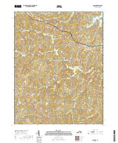
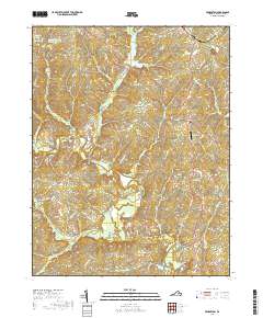
1942 Map of Buckner
USGS Topo · Published 1961About this map
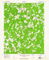
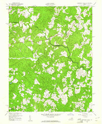
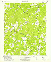
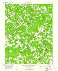
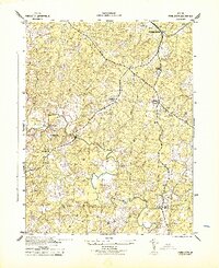
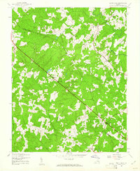
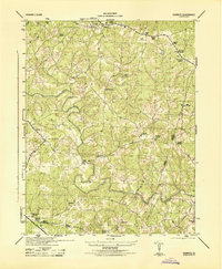
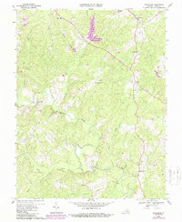
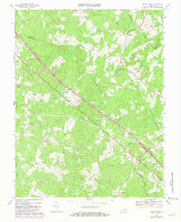
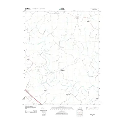
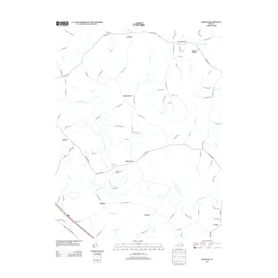
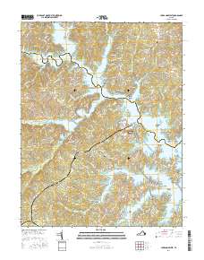
Fredericks Hall and Buckner anchor this mid-century survey of the Louisa County interior, where the Chesapeake and Ohio railroad corridor dictates the placement of industry and small communities. The infrastructure of the era is evident in the Water Tank at Fredericks Hall and the Watchtower Ch near Buckner, while the surrounding landscape is defined by the winding course of the Little River and its numerous tributaries.
Find a feature on this map
21 named features on this map. Tap any name to fly to it.
Don’t see what you’re looking for? This feature index may not catch every label — zoom into the map to look around manually.
Map Details
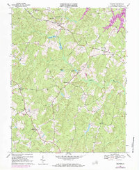
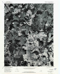
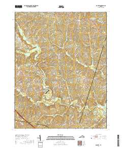
Editions of this 1942 Buckner Map
This is the sole edition of this map. No revisions or reprints were ever made.
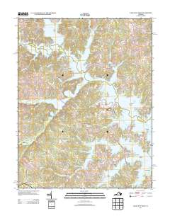
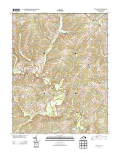
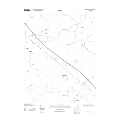
Historical Maps of Gardners Crossroads Through Time
53 maps found
1942 Buckner
Louisa County, VA
1942 Contrary Creek
Louisa County, VA
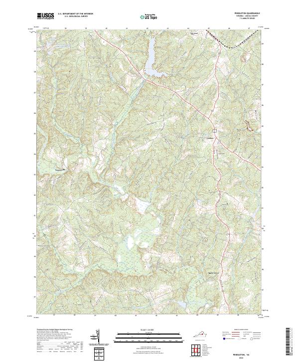
1942 Pendleton
Louisa County, VA
1943 Buckner
Louisa County, VA
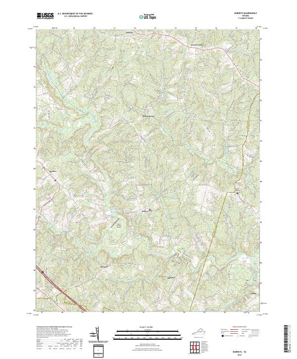
1943 Dabneys
Louisa County, VA
1943 Pendleton
Louisa County, VA
1943 South Anna
Louisa County, VA
1944 Dabneys
Louisa County, VA
1944 South Anna
Louisa County, VA
1968 Buckner
Louisa County, VA
1968 Contrary Creek
Louisa County, VA
1968 Dabneys
Louisa County, VA
1968 Pendleton
Louisa County, VA
1968 South Anna
Louisa County, VA
1970 Boswells Tavern
Louisa County, VA
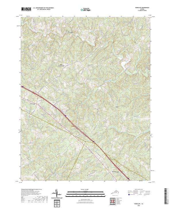
1970 Ferncliff
Louisa County, VA
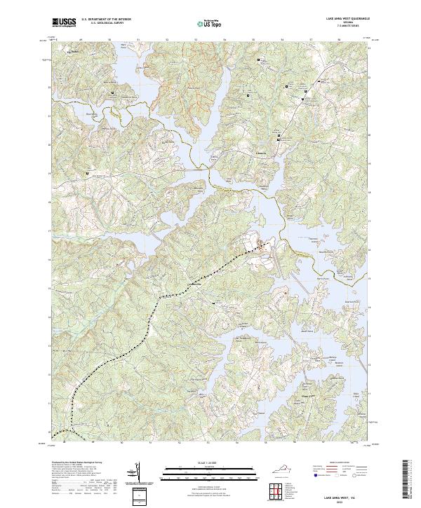
1973 Lake Anna West
Louisa County, VA
1977 Boswells Tavern
Louisa County, VA
2010 Boswells Tavern
Louisa County, VA
2010 Buckner
Louisa County, VA
2010 Dabneys
Louisa County, VA
2010 Lake Anna West
Louisa County, VA
2010 South Anna
Louisa County, VA
2011 Ferncliff
Louisa County, VA
2011 Pendleton
Louisa County, VA
2013 Boswells Tavern
Louisa County, VA
2013 Buckner
Louisa County, VA
2013 Dabneys
Louisa County, VA
2013 Ferncliff
Louisa County, VA
2013 Lake Anna West
Louisa County, VA
2013 Pendleton
Louisa County, VA
2013 South Anna
Louisa County, VA
2016 Boswells Tavern
Louisa County, VA
2016 Buckner
Louisa County, VA
2016 Dabneys
Louisa County, VA
2016 Ferncliff
Louisa County, VA
2016 Lake Anna West
Louisa County, VA
2016 Pendleton
Louisa County, VA
2016 South Anna
Louisa County, VA
2019 Boswells Tavern
Louisa County, VA
2019 Buckner
Louisa County, VA
2019 Dabneys
Louisa County, VA
2019 Ferncliff
Louisa County, VA
2019 Lake Anna West
Louisa County, VA
2019 Pendleton
Louisa County, VA
2019 South Anna
Louisa County, VA
2022 Boswells Tavern
Louisa County, VA
2022 Buckner
Louisa County, VA
2022 Dabneys
Louisa County, VA
2022 Ferncliff
Louisa County, VA
2022 Lake Anna West
Louisa County, VA
2022 Pendleton
Louisa County, VA
2022 South Anna
Louisa County, VA