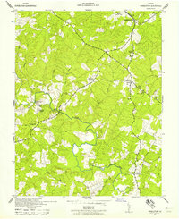
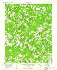
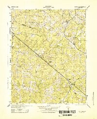
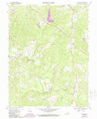
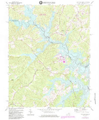
1942 Map of Pendleton
USGS Topo · Published 1958About this map
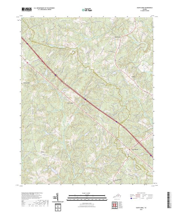
South Anna River drainage patterns define this landscape in Louisa County, where small crossroads communities and rural outposts like Vigor and Apple Grove remained central to local life during the early 1940s. The northern edge is anchored by the community of Pendleton, a stop along the Chesapeake and Ohio railroad that linked these interior Virginia woodlands to larger markets. This survey highlights a network of family-named landmarks and local institutions, from Goodwins Store to Gilboa Church, showing a pre-interstate era of winding country roads and river crossings. The presence of Smiths Mill and a notable Ford on the river suggests a reliance on local water power and seasonal transit points. For those tracing regional history, the map preserves the exact locations of many rural churches, including Philippi Church and Ebenezer Church, which served as the social heart of their respective neighborhoods.
Find a feature on this map
20 named features on this map. Tap any name to fly to it.
Don’t see what you’re looking for? This feature index may not catch every label — zoom into the map to look around manually.
Map Details
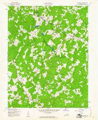
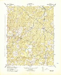
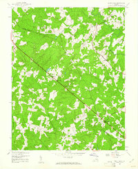
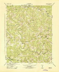
Editions of this 1942 Pendleton Map
This is the sole edition of this map. No revisions or reprints were ever made.
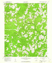
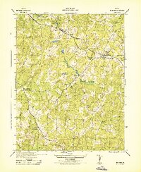
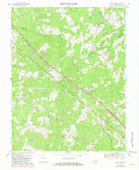
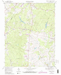
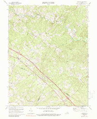
Historical Maps of Mineral Through Time
25 maps found
1942 Buckner
Louisa County, VA
1942 Contrary Creek
Louisa County, VA
1942 Pendleton
Louisa County, VA
1943 Buckner
Louisa County, VA
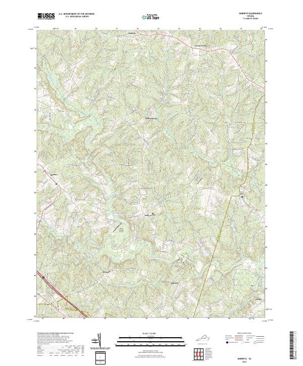
1943 Dabneys
Louisa County, VA
1943 Pendleton
Louisa County, VA
1943 South Anna
Louisa County, VA
1944 Dabneys
Louisa County, VA
1944 South Anna
Louisa County, VA
1968 Buckner
Louisa County, VA
1968 Contrary Creek
Louisa County, VA
1968 Dabneys
Louisa County, VA
1968 Pendleton
Louisa County, VA
1968 South Anna
Louisa County, VA
1970 Boswells Tavern
Louisa County, VA
1970 Ferncliff
Louisa County, VA
1973 Lake Anna West
Louisa County, VA
1977 Boswells Tavern
Louisa County, VA
2022 Boswells Tavern
Louisa County, VA
2022 Buckner
Louisa County, VA
2022 Dabneys
Louisa County, VA
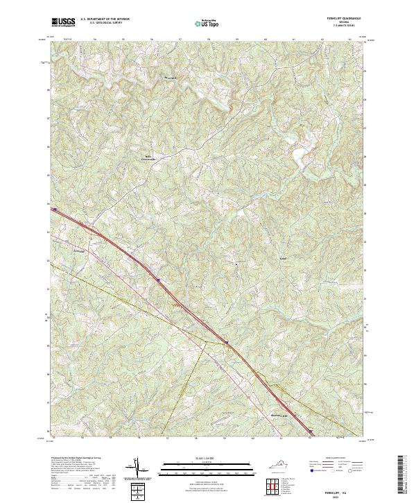
2022 Ferncliff
Louisa County, VA
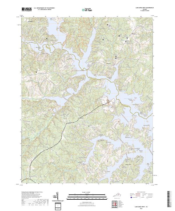
2022 Lake Anna West
Louisa County, VA
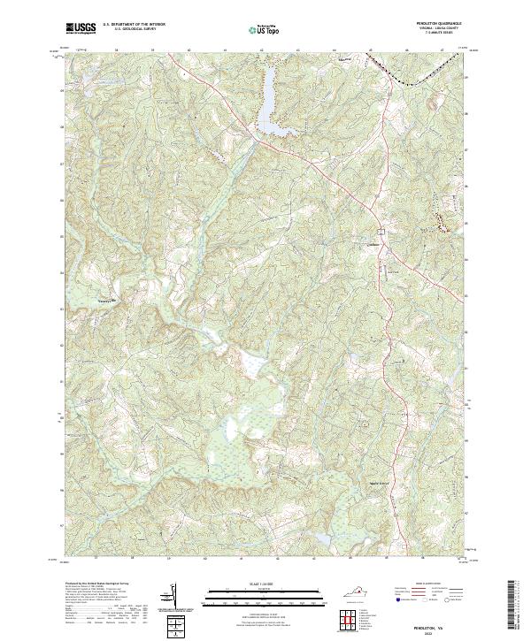
2022 Pendleton
Louisa County, VA
2022 South Anna
Louisa County, VA