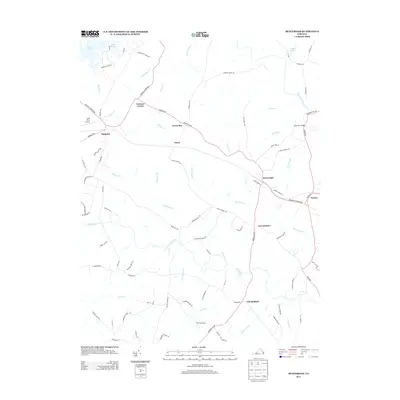
2013 Map of Beaverdam
USGS Topo · Published 2013About this map
Lake Anna and its finger-like coves define the northwestern corner of this landscape, where Lake Anna Airport sits near the rural settlement of Bumpass. The terrain is defined by a dense network of tributaries including Little Rocky Cr and Hollowing Cr, which flow toward the North Anna River in the east. This central Virginia corridor is marked by historically significant small junctions and crossroads such as Greenes Corner, Green Bay, and Tylers. In the eastern portion of the map, the community of Beaverdam serves as a local hub near Pug Swamp. The map details a transition from the lakeside recreation areas to the more traditional agricultural and timber lands found near Old Bandana and Terrell Store. Researchers can trace old property boundaries and transit corridors like Beaver Dam Rd and the Equestrian Trail Way.
Find a feature on this map
90 named features on this map. Tap any name to fly to it.
Don’t see what you’re looking for? This feature index may not catch every label — zoom into the map to look around manually.
Map Details
Editions of this 2013 Beaverdam Map
This is the sole edition of this map. No revisions or reprints were ever made.
Other maps of this area

1887 · Spottsylvania
USGS Topo · 1:125,000

1890 · Goochland
USGS Topo · 1:125,000

1892 · Spottsylvania
USGS Topo · 1:125,000

1892 · Goochland
USGS Topo · 1:125,000

1942 · Ladysmith
USGS Topo · 1:31,680

1942 · Partlow
USGS Topo · 1:31,680

1942 · Contrary Creek
USGS Topo · 1:31,680

1942 · Buckner
USGS Topo · 1:24,000

1942 · Beaverdam
USGS Topo · 1:24,000

1943 · Mabelton
USGS Topo · 1:31,680