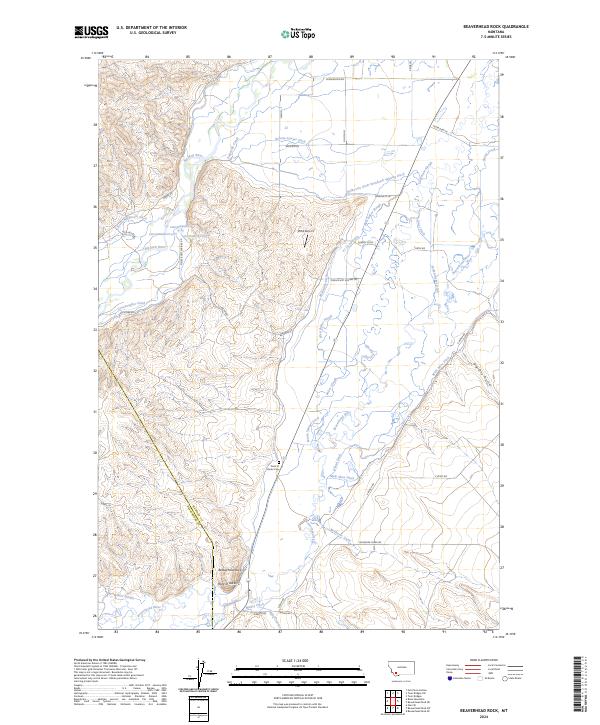
2024 Map of Beaverhead Rock
USGS Topo · Published 2024About this map
The confluence of high-desert water management and historic topography is evident near the Beaverhead River and Big Hole River. This landscape is defined by an intricate network of irrigation channels, including the remarkably named Balkovetz Giem Standvich Whiting Ditch, Cocanougher Ditch, and Warm Springs Ditch, illustrating decades of water-rights history in this corner of Montana. The boundary between Madison and Beaverhead counties cuts through the terrain near the prominent landmark of Beaverhead Rock. Local history and genealogy researchers will find the Point of Rocks Cem near the settlement of Point of Rocks, while more modern infrastructure is noted by the presence of the Vbob Airport and several springs like 04S07W28BDAD01 Spring.
Find a feature on this map
46 named features on this map. Tap any name to fly to it.
Don’t see what you’re looking for? This feature index may not catch every label — zoom into the map to look around manually.
Map Details
Editions of this 2024 Beaverhead Rock Map
This is the sole edition of this map. No revisions or reprints were ever made.
Other maps of this area

1893 · Dillon
USGS Topo · 1:250,000

1955 · Dillon
USGS Topo · 1:250,000

1957 · Dillon
USGS Topo · 1:250,000

1958 · Dillon
USGS Topo · 1:250,000

1960 · Block Mountain
USGS Topo · 1:24,000

1960 · Twin Bridges
USGS Topo · 1:62,500

1961 · Glen SE
USGS Topo · 1:24,000

1961 · Nez Perce Hollow
USGS Topo · 1:24,000

1961 · Beaverhead Rock SE
USGS Topo · 1:24,000

1962 · Dillon
USGS Topo · 1:250,000