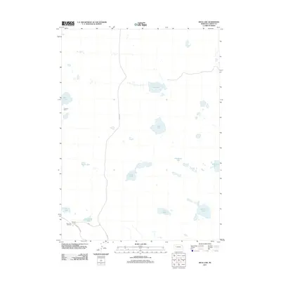
2011 Map of Beck Lake
USGS Topo · Published 2011About this map
The G Peterson Ranch and C Peterson Ranch define the sparsely populated landscape of Garden County in this early 21st-century survey. Located within the Nebraska Sandhills, the region is characterized by a high density of small lakes and seasonal basins, such as Beck Lake and School Section Lake, which are vital for the local ranching economy. This environment supported established operations like the Mule Shoe Bar Ranch, connected to the wider world via Road No 155 and Alliance Refuge Rd. The numerous water bodies, including Old Merrill Lake, Merrill Lake, and Whitehead Lake, illustrate the intricate hydrology of the area, where water is the primary resource for both livestock and the diverse wildlife that frequents these natural depressions.
Find a feature on this map
18 named features on this map. Tap any name to fly to it.
Don’t see what you’re looking for? This feature index may not catch every label — zoom into the map to look around manually.
Map Details
Editions of this 2011 Beck Lake Map
This is the sole edition of this map. No revisions or reprints were ever made.
Other maps of this area

1896 · Browns Creek
USGS Topo · 1:125,000

1899 · Browns Creek
USGS Topo · 1:125,000

1948 · Antioch
USGS Topo · 1:62,500

1948 · Lakeside
USGS Topo · 1:62,500

1949 · Mumper
USGS Topo · 1:62,500

1949 · Antioch
USGS Topo · 1:62,500

1950 · Storm Lake
USGS Topo · 1:62,500

1950 · Lakeside
USGS Topo · 1:62,500

1954 · Scottsbluff
USGS Topo · 1:250,000

1955 · Alliance
USGS Topo · 1:250,000