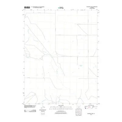
2010 Map of Beckman Lake
USGS Topo · Published 2010About this map
Beckman Lake serves as a central landmark in this high plains landscape of Lincoln County, where the intricate drainage of the Rush Creek system defines the local geography. The map reveals the confluence and paths of North Rush Creek, Middle Rush Creek, and South Rush Creek as they traverse the prairie. This 2010 topographic study provides a clear view of the section-line road network, showing how routes like County Rd-2L and County Rd-30 overlay the rural landscape, facilitating movement through this ranching and agricultural region. The distribution of intermittent water sources and the natural flow of Rush Creek reflect the characteristic hydrology of eastern Colorado, offering a precise look at the area's physical composition during the early 21st century.
Find a feature on this map
15 named features on this map. Tap any name to fly to it.
Don’t see what you’re looking for? This feature index may not catch every label — zoom into the map to look around manually.
Map Details
Editions of this 2010 Beckman Lake Map
This is the sole edition of this map. No revisions or reprints were ever made.
Other maps of this area

1889 · Sanborn
USGS Topo · 1:125,000

1891 · Sanborn
USGS Topo · 1:125,000

1891 · Arroyo
USGS Topo · 1:125,000

1891 · Limon
USGS Topo · 1:125,000

1892 · Limon
USGS Topo · 1:125,000

1893 · Arroyo
USGS Topo · 1:125,000

1893 · Sanborn
USGS Topo · 1:125,000

1954 · Limon
USGS Topo · 1:250,000

1954 · Lamar
USGS Topo · 1:250,000

1957 · Limon
USGS Topo · 1:250,000