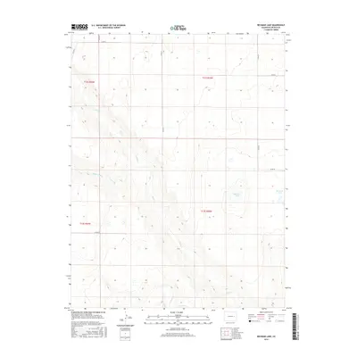
2016 Map of Beckman Lake
USGS Topo · Published 2016About this map
Beckman Lake lies at the heart of this high plains landscape in eastern Lincoln County, where the intricate drainage patterns of the Colorado prairie are clearly defined. The terrain is dominated by the seasonal flow of the Rush Creek system, including N Rush Cr, Middle Rush Cr, and S Rush Cr. These watercourses carve subtle valleys across the Township 12 and 13 South ranges, dictating the placement of the local transportation network. Section lines are traced by a grid of rural routes such as Co Rd 30 and Co Rd 27, which provide the primary access to this agricultural and ranching territory. The map illustrates the characteristic late-twentieth-century land management patterns, where water access and section-based boundaries remain the defining features of the rural environment.
Find a feature on this map
17 named features on this map. Tap any name to fly to it.
Don’t see what you’re looking for? This feature index may not catch every label — zoom into the map to look around manually.
Map Details
Editions of this 2016 Beckman Lake Map
This is the sole edition of this map. No revisions or reprints were ever made.
Other maps of this area

1889 · Sanborn
USGS Topo · 1:125,000

1891 · Sanborn
USGS Topo · 1:125,000

1891 · Arroyo
USGS Topo · 1:125,000

1891 · Limon
USGS Topo · 1:125,000

1892 · Limon
USGS Topo · 1:125,000

1893 · Arroyo
USGS Topo · 1:125,000

1893 · Sanborn
USGS Topo · 1:125,000

1954 · Limon
USGS Topo · 1:250,000

1954 · Lamar
USGS Topo · 1:250,000

1957 · Limon
USGS Topo · 1:250,000