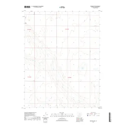
2019 Map of Beckman Lake
USGS Topo · Published 2019About this map
Rush Creek and its various branches, including North Rush Creek, Middle Rush Creek, and South Rush Creek, carve a series of drainages across this portion of Lincoln County. The eastern side of the landscape is punctuated by the eponymous Beckman Lake, a modest water body situated amidst the high plains terrain. To the northwest, the elevation rises toward Rock Point, a distinct topographic landmark that stands out against the surrounding contours.
Find a feature on this map
17 named features on this map. Tap any name to fly to it.
Don’t see what you’re looking for? This feature index may not catch every label — zoom into the map to look around manually.
Map Details
Editions of this 2019 Beckman Lake Map
This is the sole edition of this map. No revisions or reprints were ever made.
Other maps of this area

1889 · Sanborn
USGS Topo · 1:125,000

1891 · Sanborn
USGS Topo · 1:125,000

1891 · Arroyo
USGS Topo · 1:125,000

1891 · Limon
USGS Topo · 1:125,000

1892 · Limon
USGS Topo · 1:125,000

1893 · Arroyo
USGS Topo · 1:125,000

1893 · Sanborn
USGS Topo · 1:125,000

1954 · Limon
USGS Topo · 1:250,000

1954 · Lamar
USGS Topo · 1:250,000

1957 · Limon
USGS Topo · 1:250,000