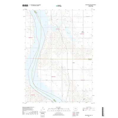
2017 Map of Bedashosha Lake
USGS Topo · Published 2017About this map
The Missouri River forms the western boundary of this landscape, its waters contained within the expansive Lake Francis Case. This stretch of the Missouri is defined by the convergence of several tributary systems, including Wolf Cr, Crow Creek, and the smaller De Smet Cr. The terrain east of the river is marked by significant drainages and seasonal water bodies like Bedashosha Lake, which sits in a depression surrounded by the complex topography of West Point Township.
Find a feature on this map
26 named features on this map. Tap any name to fly to it.
Don’t see what you’re looking for? This feature index may not catch every label — zoom into the map to look around manually.
Map Details
Editions of this 2017 Bedashosha Lake Map
This is the sole edition of this map. No revisions or reprints were ever made.
Other maps of this area

1935 · Chamberlain
USGS Topo · 1:62,500

1939 · Chamberlain
USGS Topo · 1:62,500

1941 · Pukwana
USGS Topo · 1:62,500

1951 · Pukwana
USGS Topo · 1:62,500

1952 · Oacoma
USGS Topo · 1:24,000

1953 · Huron
USGS Topo · 1:250,000

1954 · Huron
USGS Topo · 1:250,000

1955 · Mitchell
USGS Topo · 1:250,000

1959 · Mitchell
USGS Topo · 1:250,000

1966 · Big Bend Dam SE
USGS Topo · 1:24,000
Featured Places
- West Point Township, SD
- Wilson Township, Crow Creek District
- Grosse, SD
- Fort Thompson District, SD
- Crow Creek District, SD