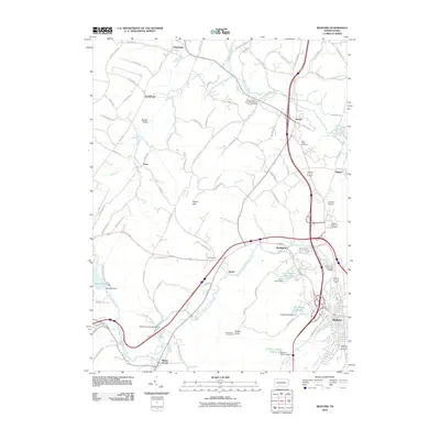
2010 Map of Bedford
USGS Topo · Published 2010About this map
The Raystown Branch Juniata River snakes through the heart of Bedford County, anchoring a landscape where modern transportation corridors intersect with colonial-era history. This 2010 survey highlights the enduring presence of local landmarks like the Claycomb Covered Bridge and Herline Covered Bridge, which stand alongside the modern expansion of Bedford. The topography is dominated by the Pigeon Hills and Kinton Knob, where the Kinton Knob Fire Tower provides a vertical point of reference over the valley floor. Small hamlets and crossroads such as Wolfsburg, Manns Choice, and Fishertown maintain their distinct identities even as residential and commercial development spreads from the county seat. Water management is a defining feature of the area, seen in the large Shawnee Lake within Shawnee State Park and specialized reservoirs like the John C Smith Reservoir and Milburn Spring Reservoir serving the surrounding communities.
Find a feature on this map
92 named features on this map. Tap any name to fly to it.
Don’t see what you’re looking for? This feature index may not catch every label — zoom into the map to look around manually.
Map Details
Editions of this 2010 Bedford Map
This is the sole edition of this map. No revisions or reprints were ever made.
Other maps of this area

1900 · Everett
USGS Topo · 1:62,500

1902 · Everett
USGS Topo · 1:62,500

1908 · Bedford
USGS Topo · 1:62,500

1910 · Bedford
USGS Topo · 1:62,500

1927 · Clearville
USGS Topo · 1:48,000

1927 · Hyndman
USGS Topo · 1:62,500

1931 · Clearville
USGS Topo · 1:62,500

1931 · Hyndman
USGS Topo · 1:62,500

1944 · Hyndman
USGS Topo · 1:62,500

1944 · Clearville
USGS Topo · 1:62,500