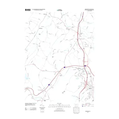
2013 Map of Bedford
USGS Topo · Published 2013About this map
The Raystown Br Juniata River carves through this central Pennsylvania landscape, anchoring a region defined by its narrow valleys and prominent ridges. Notable timber-frame landmarks including the Claycomb Covered Bridge near Wolfsburg and the Herline Covered Bridge to the southwest illustrate the area's preserved architectural heritage. The terrain rises sharply at Kinton Knob, where the Kinton Knob Fire Tower overlooks the convergence of Quaker Valley and the Cumberland Valley Run.
Find a feature on this map
175 named features on this map. Tap any name to fly to it.
Don’t see what you’re looking for? This feature index may not catch every label — zoom into the map to look around manually.
Map Details
Editions of this 2013 Bedford Map
This is the sole edition of this map. No revisions or reprints were ever made.
Other maps of this area

1900 · Everett
USGS Topo · 1:62,500

1902 · Everett
USGS Topo · 1:62,500

1908 · Bedford
USGS Topo · 1:62,500

1910 · Bedford
USGS Topo · 1:62,500

1927 · Clearville
USGS Topo · 1:48,000

1927 · Hyndman
USGS Topo · 1:62,500

1931 · Clearville
USGS Topo · 1:62,500

1931 · Hyndman
USGS Topo · 1:62,500

1944 · Hyndman
USGS Topo · 1:62,500

1944 · Clearville
USGS Topo · 1:62,500