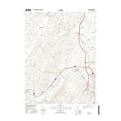
2016 Map of Bedford
USGS Topo · Published 2016About this map
Bedford serves as the focal point of this 2016 survey, situated where the Raystown Branch Juniata River meets the valley floor between Wills Mtn and the ridges of Pigeon Hills. The landscape is defined by its historic transit corridors, including the path of the river and the arterial routes through Wolfsburg and Cessna. This modern update documents the enduring rural character of the county seat, preserved in landmarks like the Claycomb Covered Bridge and the Herline Covered Bridge.
Find a feature on this map
150 named features on this map. Tap any name to fly to it.
Don’t see what you’re looking for? This feature index may not catch every label — zoom into the map to look around manually.
Map Details
Editions of this 2016 Bedford Map
This is the sole edition of this map. No revisions or reprints were ever made.
Other maps of this area

1900 · Everett
USGS Topo · 1:62,500

1902 · Everett
USGS Topo · 1:62,500

1908 · Bedford
USGS Topo · 1:62,500

1910 · Bedford
USGS Topo · 1:62,500

1927 · Clearville
USGS Topo · 1:48,000

1927 · Hyndman
USGS Topo · 1:62,500

1931 · Clearville
USGS Topo · 1:62,500

1931 · Hyndman
USGS Topo · 1:62,500

1944 · Hyndman
USGS Topo · 1:62,500

1944 · Clearville
USGS Topo · 1:62,500