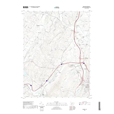
2019 Map of Bedford
USGS Topo · Published 2019About this map
Bedford sits at the confluence of the Raystown Branch Juniata River and Cumberland Valley Run, serving as a central hub in this Pennsylvania landscape. The town's historical depth is evident in the Old Presbyterian Graveyard and the Bedford County Courthouse, while the surrounding countryside is dotted with small settlements like Fishertown, Wolfsburg, and Manns Choice. This survey highlights the region's preservation of early transit engineering, featuring both the Claycomb Covered Bridge near Belden and the Herline Covered Bridge to the southwest.
Find a feature on this map
135 named features on this map. Tap any name to fly to it.
Don’t see what you’re looking for? This feature index may not catch every label — zoom into the map to look around manually.
Map Details
Editions of this 2019 Bedford Map
This is the sole edition of this map. No revisions or reprints were ever made.
Other maps of this area

1900 · Everett
USGS Topo · 1:62,500

1902 · Everett
USGS Topo · 1:62,500

1908 · Bedford
USGS Topo · 1:62,500

1910 · Bedford
USGS Topo · 1:62,500

1927 · Clearville
USGS Topo · 1:48,000

1927 · Hyndman
USGS Topo · 1:62,500

1931 · Clearville
USGS Topo · 1:62,500

1931 · Hyndman
USGS Topo · 1:62,500

1944 · Hyndman
USGS Topo · 1:62,500

1944 · Clearville
USGS Topo · 1:62,500