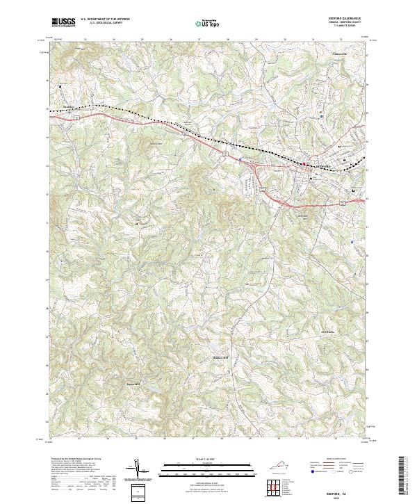
2022 Map of Bedford
USGS Topo · Published 2022About this map
Bedford serves as the central hub of this 2022 survey, surrounded by a landscape of named ridges and winding waterways. The town's grid is dense with local history, featuring sites like the Otey Street Cem and Fairmont Cem. Beyond the town limits, the geography is defined by the Little Otter River and its various branches, including the Middle Fork Little Otter Cr and S Fork Little Otter Cr. To the west, Mosely Mtn and Cobbs Mtn rise above the smaller settlements of Thaxton and Joppa Mill. The map documents a mix of legacy agricultural land and modern infrastructure, shown through the presence of Robinson Airport and the complex road network branching from the W Lynchburg Salem Tpke. Genealogists may find value in the rural burial grounds, such as the McGhee Family Cem, tucked away near Wingfield Mtn.
Find a feature on this map
167 named features on this map. Tap any name to fly to it.
Don’t see what you’re looking for? This feature index may not catch every label — zoom into the map to look around manually.
Map Details
Editions of this 2022 Bedford Map
This is the sole edition of this map. No revisions or reprints were ever made.
Other maps of this area

1890 · Roanoke
USGS Topo · 1:125,000

1891 · Roanoke
USGS Topo · 1:125,000

1892 · Lynchburg
USGS Topo · 1:125,000

1947 · Roanoke
USGS Topo · 1:250,000

1950 · Goode
USGS Topo · 1:62,500

1950 · Peaks of Otter
USGS Topo · 1:62,500

1951 · Moneta
USGS Topo · 1:62,500

1951 · Altavista
USGS Topo · 1:62,500

1959 · Roanoke
USGS Topo · 1:250,000

1963 · Roanoke
USGS Topo · 1:250,000