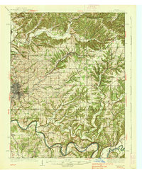
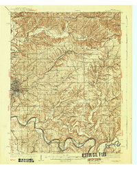
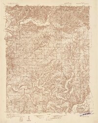
1937 Map of Bedford
USGS Topo · Published 1937About this map
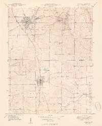
Bedford serves as the industrial and civic anchor of this mid-1930s landscape, where the heavy extraction of Indiana limestone is evidenced by large operations like Fanning Quarry, Peerless Quarry, and Lehigh Quarry. The region's economy is deeply tied to the railroads that navigate the winding valleys, with the Chicago Indianapolis and Louisville and the Baltimore and Ohio connecting river towns to wider markets.
Find a feature on this map
64 named features on this map. Tap any name to fly to it.
Don’t see what you’re looking for? This feature index may not catch every label — zoom into the map to look around manually.
Map Details
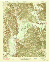
Editions of this 1937 Bedford Map
2 editions found
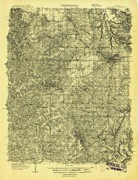
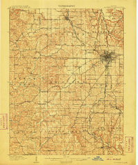
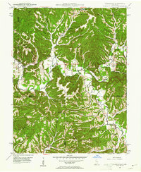
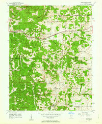
Other maps of this area
1908 · Bloomington
USGS Topo · 1:48,000
1910 · Bloomington
USGS Topo · 1:62,500
1934 · Bedford
USGS Topo · 1:48,000

1935 · Oolitic
USGS Topo · 1:48,000

1942 · Franklin
USGS Topo · 1:125,000

1942 · Oolitic
USGS Topo · 1:62,500
1947 · Allens Creek
USGS Topo · 1:24,000
1947 · Elkinsville
USGS Topo · 1:24,000
1949 · Georgia
USGS Topo · 1:24,000
1950 · Mitchell
USGS Topo · 1:24,000